Thursday, June 27, 2013

The Big Moon

All the photographers were busy last weekend trying to capture the "super-moon". I think it's supposed to be over a year from now before the moon is as big and bright. I got a few decent shots on Saturday night, but I knew I could do better. Sunday AM at around 4:30 the moon was supposed to be at it's biggest and brightest. I set the alarm, drove around the neighborhood, and it quickly became obvious there were way too many low clouds to get any glimpse of the moon. So I went home and went back to bed. Not to be discouraged, we decided to drive out to the desert Sunday night to catch the "moon-rise" which was scheduled to happen at 8:30PM.

We drove into the high desert shortly after sunset and stopped for gas at the Morongo Valley Chevron.
The clouds were pretty, but looking east towards 29 Palms (which is where we were going, and where the moon was supposed to be rising) I noticed a lot of haze and cloud cover. At 8:30 PM, there was no moon in sight.  Ditto about 9 PM, but then the clouds started to clear. I didn't get the classic moon-rising-over-the-mountain or Joshua tree silhouette shot, but some very nice cloud + moon shots, so overall pretty happy.


"Cloudy Hand"

"Moon Sandwich" - the clouds were picking up some interesting colors.

Textured moon
Linking with Skywatch Friday. Click on the link 
to check out great skies from around the world!

Thursday, June 20, 2013

A Long Way From Anywhere

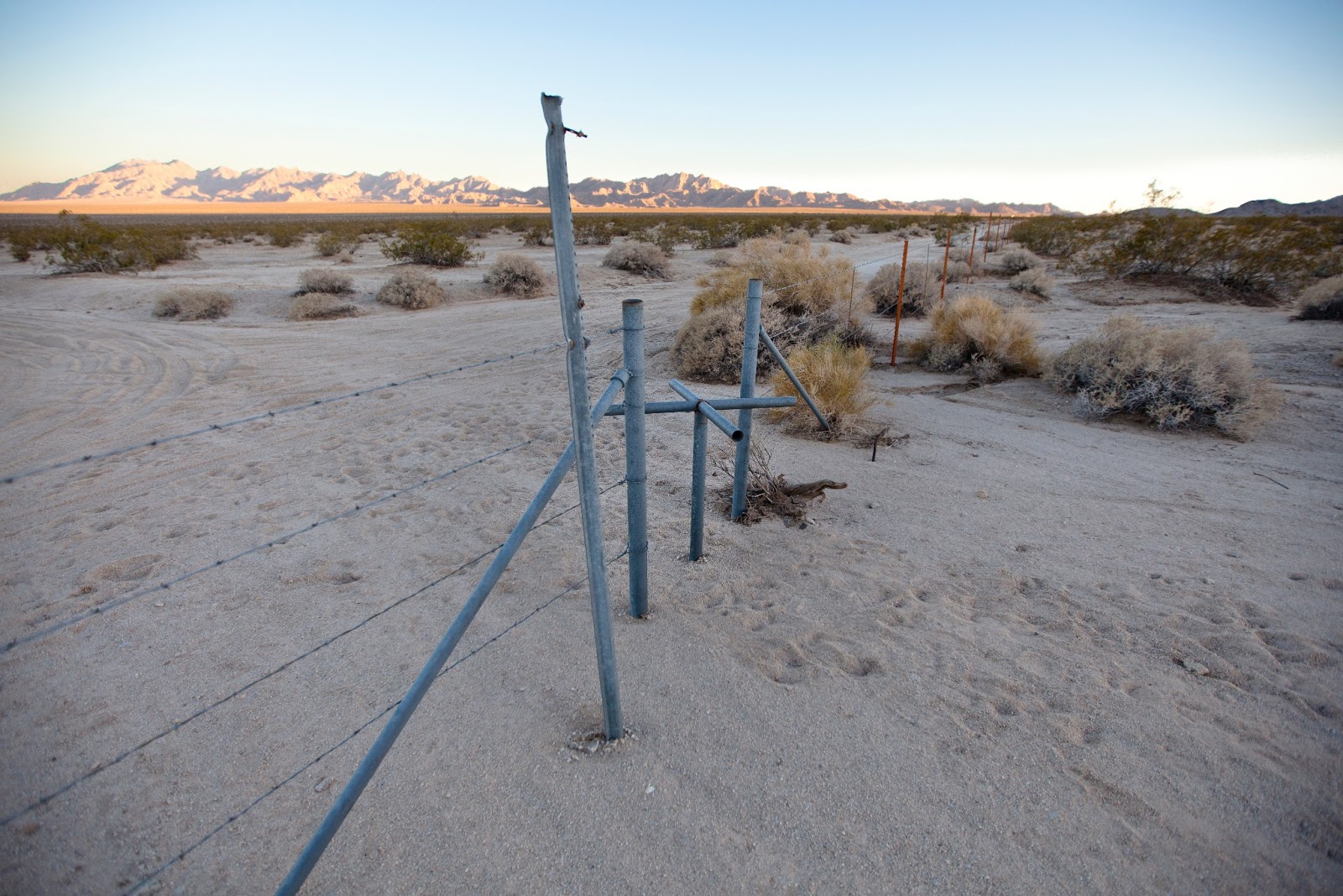
Here we are, middle of nowhere (or middle of everywhere, depending upon your point of view), at the junction of Highways 62 and 177 in the S. CA desert. Traveling west on 62, I was compelled to pull the Jeep over to capture the early evening light on the horizon. It's 50 miles west on Highway 62 to 29 Palms, and at least that far east to Parker on the Colorado River (and AZ border). Going south on 177 is also an option... about 35 miles to Desert Center, but there are no services there. It can be hard to feel isolated and away from it all in S CA, but this location works for me!
Photo data:  Taken Saturday, 6/15/13@8:05PM. 1/1000sec, ISO 250, f/3.2, 28mm (EF 16-35mm f/2.8 lens)

Photo data:  Taken Saturday, 6/15/13@8:06PM, 1/100sec, f/9, ISO 250, 16mm

Linking with Skywatch Friday. Click the link 
to check out great skies from around the world!!

Monday, June 17, 2013

Iron Mountain Divisional Camp

From 1942 to 1944, the virtually uninhabited deserts of S CA and AZ became a combat training ground for the largest military training exercise of its time. Under the command of Major General George S. Patton Jr., close to a million American soldiers were cycled through a series of 12 primitive base camps - collectively know as Patton Camps - from which they conducted large-scale maneuvers. According to the description on my BLM map, the Camp Iron Mountain "remains today as one of the best-preserved remnants of this operation".

Camp Iron Mountain is located 6 miles east of the intersection of Hwy 177 and 62 in the S CA desert. From 62, drive north 1.6 miles on a sandy road which leads directly to the camp headquarters area. The camp area is fenced off to keep vehicles out, and there are walk-through turnstiles at several points along the perimeter. The road is a little rough with areas of deep sand in spots, so 4WD is recommended.
Rustic desert turnstile... entrance to Iron Mountain Divisional Camp
Unfortunately, there's not much left to see at this camp. Primarily there are rock alignments marking camp roads and walkways, but not many remnants from the thousands of soldiers that trained here back in the early '40s. It's likely been picked over years ago.

Gotta love those long desert shadows... my wife, dog and myself!
Old vehicle suspension spring from some sort of military vehicle... perhaps an old WW2 Jeep?
Even without much in the way of military remnants, it's cool walking around in an area where you know thousands of soldiers trained for WW2! And it's a large area, and we didn't have much time to explore, so who knows what we missed??

Thursday, June 13, 2013

Desert Dust Devil

According to Wikipedia, a dust devil is a strong, well formed whirlwind ranging from small (a foot or two wide and 6' tall) to large (more than 30' wide and 3000' tall). The primary vertical motion is upward, and they are only rarely strong enough to pose a threat to people or property. As I was looking out in the direction of Coyote Dry Lake in Joshua Tree last weekend, I noticed this dust level form and grow and then disappear, all in about 5-10 minutes time. Pretty impressive!

Small:
Medium:
Large:
Linking with Skywatch Friday. Click on the link to check out great skies from around the world!
Have a great weekend!!

Thursday, June 6, 2013

Geology Tour Road by Moonlight

I've blogged about Geology Tour Road in Joshua Tree National Park at least once before, but it was quite a while ago. Anyway, about two weeks ago I had been working hard on my "project" all day and needed a break. I decided to take the Jeep out for a spin in the Park after dinner... no particular destination in mind, but hoping to catch some good sunset shots. The sun was still a little high for as I wound my way through the Park, and on a whim decided to take the turnoff for Geology Tour Road. It's 18 miles of dirt road, and too late in the day to get it all done before dark, but I know the road well, it was a beautiful night, I had plenty of food and water with me, and figured I could turn back at any time. I also knew it was going to be a full moon. The only danger: no cell reception in the Park, so if I got stuck or had mechanical problems, I'll be spending the night in my Jeep!
I didn't see a single car on the trail as I zipped along non-stop, and was almost to the half-way point by about 7:15. By now the sun was low on the horizon, casting long shadows, and I knew sunset wasn't too far off.
I knew where I wanted to be come sunset, and it was still about 15 minutes away, so off I sped.
I decided to set up my camera gear by this weirdly-shaped Joshua tree, and was pretty happy with this sunset shot. At this location, I had huge desert vistas, I didn't see another human being for hundreds of miles around me in any direction, and there was absolute stillness as the sun set. After taking this shot, I remember thinking "I wonder where the moon is?" Turning around 180 degrees, I was greeted with this beautiful moon-rise. And just as the moon cleared the distant mountain, a bunch of coyotes started to yip... very cool! Almost like they were waiting for it too!
The rest of the evening was spent driving around and hiking around taking shots of Joshua Tree by moonlight. I really enjoyed it, and planning on spending many more summer nights in the Park!

One of my favorites from the night... "chasing the moon" shot.

I used Photoshop to reduce the exposure on the moon (keep it sharp) an increase the exposure on the foreground
 for better overall exposure balance.
If you're curious about this drive, I found a nice 6-minute You Tube video that highlights some of it:  http://www.youtube.com/watch?v=J6jU4sJAuZM  The first part of the road is smooth and easy, but 4WD is recommended for the second half. You could probably get by with a high ground clearance vehicle.

We're heading back out to the desert this weekend to work on our project. Hope to share some photos with you. Linking with Skywatch Friday. Click the link to check our great skies from around the world! Have a great weekend!!