Thursday, January 26, 2023

Calumet Mine: The Drive Home

 Calumet Mine was a fun place to explore, but it's time to start the long Jeep trip back to civilization. Looking back on this trip, at least half the fun was in getting to (and from) the destination. And if you enjoy desert skies and lots of photo opportunities, it doesn't get much better than this!
Who doesn't love desert trains? With seemingly unlimited visibility, beautiful light, and wonderful skies, you can't go wrong. This train was so long that it didn't fit in a single photo!
 
It was a looooooooooong time waiting for this train to pass!
 
Now that's off-grid/remote living!
 
The Road Runner's Retreat on old Route 66 has been abandoned for many years. I would love to see photos of what it looked like during prosperous times. That's Roger taking the close-up photo.


I've shared the photo of the full moon over Roy's before, but sharing it again because this was taken on the drive home from the Calumet Mine.
 
Hope you enjoyed these desert skies, and thanks for stopping by!
Linking with Skywatch Friday.

Thursday, January 19, 2023

Calumet Mine (Part 1)

 You've never heard of Calumet Mine? You're not alone. After multiple Google searches for Calumet Mine in San Bernardino County, CA, I finally gave up. I could find no posts or photos (which made me even more curious). My search uncovered Calumet Mine, Colorado. And even a former mining town (now a ghost town) in Colorado by the name of Calumet. But nothing for Calumet Mine in CA, other than the fact it was an old gold mine. So my friend Roger and I set off in the Jeep to see if we could find it. Fasten your seatbelt and join us, it's going to be a bumpy ride!
A quick stop in Amboy at Roys on Route 66...
 
And the old Amboy graveyard. Sad to see...
 
We continued east to Cadiz, then south on Cadiz Road to a rarely used dirt road traveling SW through open desert that would take us to within about a mile of Cadiz Mine. At least, that what the topo maps and satellite view on Google Maps show.
Wow, were we ever surprised to find the road led us to huge green agricultural fields. Are we still in the desert? Where did our road go? And where is all this water coming from??
 
These surreal green fields seemed to go on forever.
 
Google tells me this is alfalfa.
 
It turns out the road we were following (which I think is BLM land/public property) skirted property owned by Cadizinc.com. Allow me to digress: The Cadiz company has pretty much turned the road into a crop access road in some areas, and made it difficult to follow. Being the intrepid desert explorers that we are, we were able to follow the outer edges of the fields and reconnect with the road. The Cadiz company is famous (infamous would be more accurate) for purchasing water rights in the middle of the desert with a goal of tapping into ground water and pumping it to suburban users in Orange County. This pissed off a lot of people who are rightfully concerned that lowering groundwater in the desert would result in drying up the very few springs that still exist today (most have already gone dry) which would be devastating to wildlife that rely on these springs. Thankfully, Cadiz's water grab has been blocked (at least so far), but as you can tell from photo #3, they are tapping into the groundwater and flooding the desert to grow alfalfa. Digression over. 
 
Continuing on...
 
We finally made it to the Calumet Mine, or what's left of it. This is bleak, unforgiving desert. Be forwarned: If you are going to attempt this trip, be prepared for a lot of soft sand. The Jeep did great, but I was careful to keep my speed up and was constantly in fear of getting bogged down and stuck. With no cell service or auto towing, we would have been out of luck.
 
This is what remains of a wooden structure (one of two or three in the area). There's an interesting... something?... built out of local stone. Whoever built it hand picked some beautiful pieces of quartz to use in its construction. I wonder what it was?? The cool thing about visiting this old mine is that very few others have been here. There are no human footprints in the area. On a scale of 1-10 on the Desert Solitude scale, it's a 10!
 
A closer look at the mysterious stone structure. The photo doesn't do justice to the beautiful hand-picked stones used in it's construction.
 
If you were to walk strait ahead past this structure without paying too much attention, you would never be heard from again.
I present to you the Calumet mine shaft! It's larger than it looks, and is not very visible from up above (see previous photos). It's not until you are about ready to fall in that you see it. Rule #27: When exploring old mine sites, don't walk around while looking down at your cell phone!
 
The mine looks quite deep. How deep you ask? Hold that question for just a moment. Something else very cool about this mine shaft is the large raptor nest on the far wall. I'm guessing a hawk or owl, or perhaps even a golden eagle given its large size.
 
 
So getting back to your question: How deep is the Calumet Mine? I came up with this crazy idea to tie string around my GoPro camera (which is protected by a plastic case) and see if I could lower it down into the mine (without slipping and falling to my death 😲). It might give me a rough estimate of the depth, and also if there is anything interesting at the bottom of the mine (you always hear about creepy things at the bottom of desert mine shafts, right?) Just a warning: If you get vertigo from twirling around, you may want to skip this video. The camera kept spinning around on the string as I lowered it, which is something the production crew didn't anticipate!
The camera ended up getting snagged on a sandy shelf about 25' down, so I still don't know how deep the mine shaft is, or if there are any old bones at the bottom, but it was worth a try. I guess it's safe to say: Calumet Mine is very deep, and we're certainly not going to win any awards with this video!
 
After the craziness of lowering a camera into a mine shaft, Roger and I decided to take a look around to see what we could find.
What remains of another wooden structure.
 
I'm guessing melted glass from an old campfire.
 
Lot's of interesting artifacts remain at the Calumet Mine.
 

This large tube dropped down a steep hill from the mine above into this wash.
 
Sand dunes near the Calumet Mine.
 

So dry and desolate that even the creosote have a hard time surviving.
 

We followed the old roads in the area but didn't find any more mines.

  
The views from the mine are impressive. See the train?


Looking SE, you can see Cadiz Dunes.
 
One more photo of the big watering machine. I think the Cadiz Company refers to this area as "Cadiz Ranch". Seems like a crazy place to farm. Summer temperatures are routinely in the triple digits and frequently reach or exceed 115-120 degress. Evaporation while watering must be tremedous.
 
We were treated to some incredible skies on the Jeep trip back home, and I'll share those with you on my next post. Thanks for stopping by!
  
Linking with Skywatch Friday.

Thursday, January 12, 2023

Clark Park

 I had no plans to go to Clark Park, which is a local neighborhood park near my Orange County home. It was one of those cloudy days where the sky was constantly changing, so I was headed for the old oil property, where I have hiked many times over the years. The property is fenced off, but there are many places where the fence is down, and no one seems to mind if you hike the property. That is until recently. On this occassion, I noticed the fence openings had all been repaired. Oh noooo!!! Makes me wonder why, and what the plans are. I'm sure going to miss my hikes in this area if it's developed.

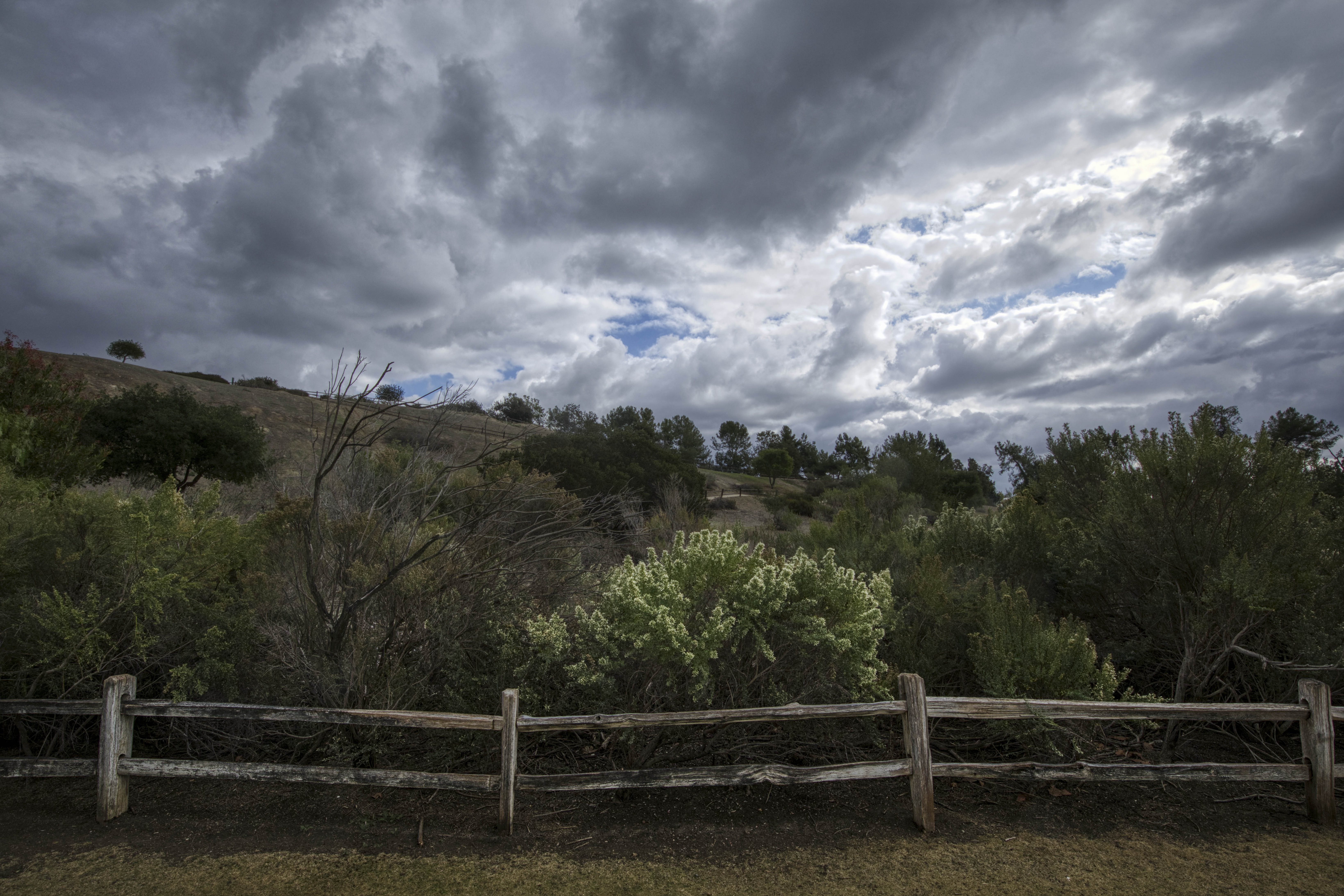
So Plan B. Clark Park is just across the street, and while it doesn't offer much of a hiking experience, there are a couple spots with pretty views. Let's go take a look!
Sky drama!
 
Steps heading up...

Steps heading down.
 
Clark Park offers a pretty good work out, if you so desire!


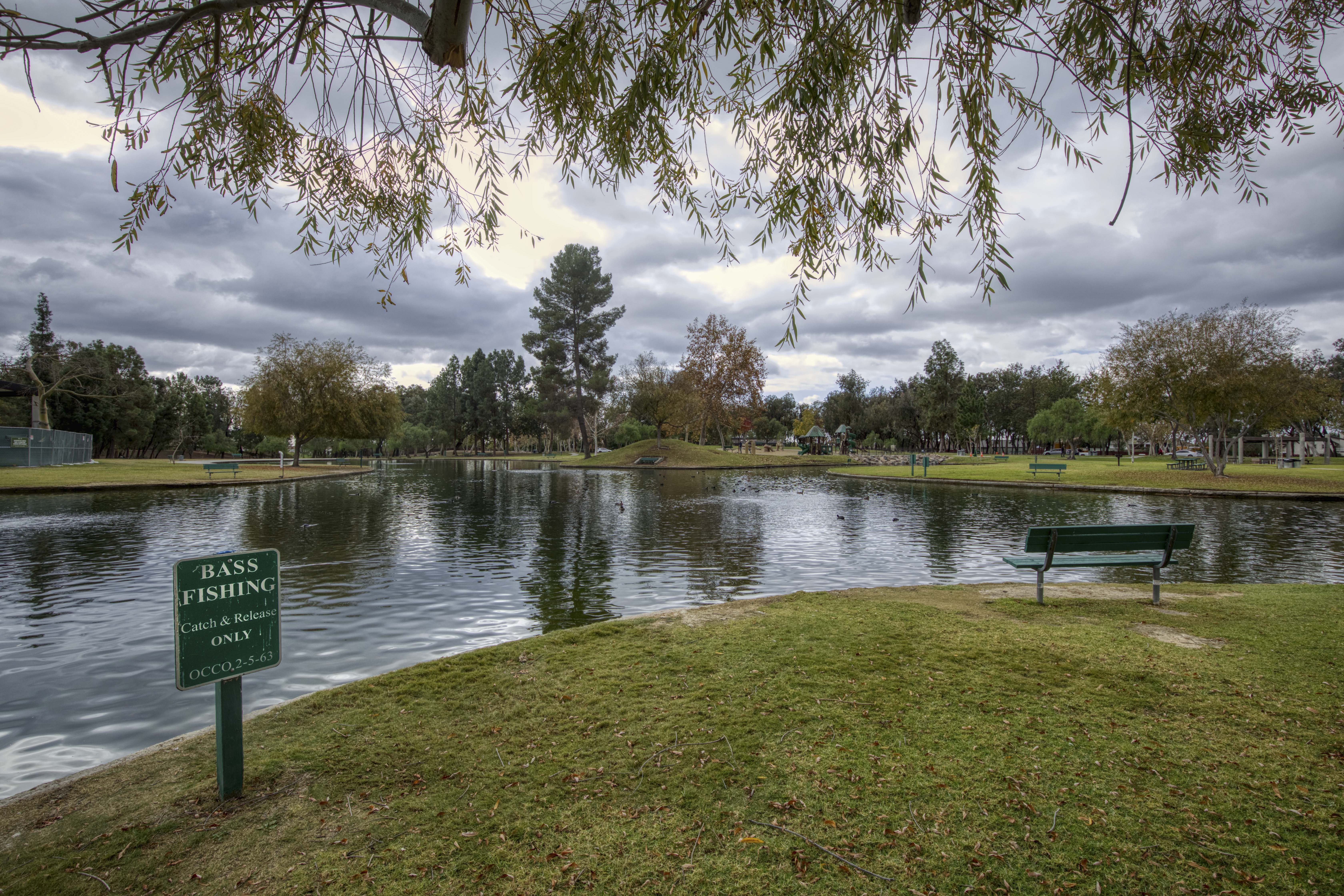
It's obvious these park denizens have been fed by humans. I sat down at a picnic table to get my camera out and they came right up to me.
 
I didn't know this "lake" was stocked with bass. I hesitate to call it a lake. It's more like a large concrete pool, a uniform 2-3' deep throughout.


Seems like the wrong time of year, but found some flowers along the way!
 
This pathway follows the perimeter of the park.

Pretty sky. Sorry about the dumpster!

See the sand hills in the background (center, slight right)? That's the oil property where I had planned to hike. I'm fortunate to have Clark Park so close to my house. 

Nice viewpoint.
   
Thanks for stopping by, and hope you enjoyed these pretty skies!!
Linking with Skywatch Friday.