Thursday, January 27, 2022

Matt Riley's Fatal Mistake

 A stones throw east of Pinto Basin Road, and less than 1/2 mile north of the Cottonwood Visitor Center in Joshua Tree National Park, lays the gravesite of Matt Riley. It's a sad and fascinating piece of desert history, as well as a cautionary tale.


There's no sign on the road to tell park visitors about the gravesite. There's no convenient parking (I ended up carefully pulling off the road onto the sandy shoulder, hoping the sand wasn't too soft and that I could get far enough off the road). Probably safer to park in a designated parking area and hike in, but I was exhausted, having just finished up a long hike, and it was getting dark.


Although worn and hard to read, the grave marker says:

Matt Riley
Died of Thirst
July 4, 1905

According to the National Park Service:

It was 114 degrees (46° C) in the shade and the distance to the nearest spring was 25 miles (40 km) when Matt Riley and Henry Kitto set off on foot from the OK Mine at 9 am. They had one canteen of water between them. Their plan was to refill the canteen at Cottonwood Spring, then continue on to Mecca to celebrate the 4th of July. Neither man knew much about the route. Kitto became ill 12 miles (19 km) out. He gave the canteen to Riley and turned back. Kitto survived the walk back to the mine.

Riley pressed on, trying to get to Cottonwood before he ran out of water. He never made it. His body was found under a bush next to the road to Mecca.

The tracks Riley left behind indicated he had passed within 200 yards (180 meters) of Cottonwood Spring before turning back and circling aimlessly—a sign of disorientation, which is a common side effect of extreme dehydration.

Matt Riley’s fatal mistake was to walk across the desert without enough water. To hike all day in the midsummer desert sun, a person needs to drink at least two gallons (7.6 liters) of water.

Riley and Kitto had set off with only one small canteen. There was no way they could have survived a 25-mile (40-km) trek in plus 100 degree heat with that small amount of water. Kitto’s decision to turn back saved his life. When Riley decided to continue on, he doomed himself.

https://www.nps.gov/articles/matt-rileys-fatal-mistake.htm

Deep in thought about poor Matt Riley, and making my way back to the car, I couldn't resist taking one more photo (last of the day).
 
Linking with Skywatch Friday.
Stay safe and stay healthy!

Thursday, January 20, 2022

Willow Wash

 Not to be confused with Willow Hole Wash, willow wash is just our slang name for a wash that my friend Mitch likes to hike. I've never hiked it before, so join Mitch, Roger and I as we go explore this little slice of heaven in Joshua Tree National Park. 
 
Shortly after entering the wash, you see a large population of Desert Willow trees (hence our slang name).
When these bushy trees are in flower, they can be quite beautiful. The flowers remind me of jacaranda flowers, and they attract bees and hummingbirds. If they are dropping their leave (which turn orange), they can also be very photogenic. Otherwise, they provide welcome shade in a very arid environment.
 
Before reaching the wash, we come across a fairly large trash site full of old rusty cans. These are usually associated with mining activity, but we didn't see any signs of mining in the area. Perhaps this was the site of some old homesteader's cabin?
 
After a while, things get interesting. The steep rocky sides of the wash provide natural beauty, and following the wash requires some boulder hopping. The casual hiker would turn back here, but there's a lot more to see if you continue on!
 
Does anyone else see a face in profile?

Roger is watching me photograph Bladderpod flowers. This plant can flower all year long, and it's one of the few we saw in bloom on this hike. The bees and butterflies love it! Photo credit goes to Mitch.


Eventually we left the wash, and for most of the remainder of the hike, we had nice views north toward Joshua Tree and 29 Palms.
 
I'm pretty sure you can guess what this is. They're all over the desert now.
 
Do you see the house in the rocks? It sits just outside the park, with the park boundary as its back yard. One of the most architecturally interesting homes I've seen, and we had some nice views of it on this hike. It blends in beautifully!
 

This Mojave Yucca seems to be taking on an almost human shape!

A dead and hollowed-out Mojave Yucca (or perhaps one-eyed monster??!)

We finished up our hike pretty late (after sunset), so it allowed me to get some low-light shots of the surrounding mountains.
 
Linking with Skywatch Friday.
Thanks for stopping by. Stay safe and stay healthy!!

Thursday, January 13, 2022

Spooner's Cove Arch

 I read an article in the paper recently titled "Beloved coastal arch falls in storms." The subtitle states "Locals lament the loss of rock formation, a landmark since at least the 1870's." It's an arch I remember well from a vacation we took to the area about 1.5 years ago. You can read my original post here.

Here's a pano shot I took using my cell phone. The natural beauty of Spooner's Cove in Montana de Oro State Park is stunning! The arch is (was) way over on the right side, and can't be seen in this photo. Let's go take a closer look...

Lilly leading the way down to the beach. We didn't know about the arch, so you can imagine our surprise and pleasure when we "discovered" it!

We had to cross some water if we wanted to climb under the arch. Lilly proceeds with caution! The geology of the arch is interesting. The rock is thrusting upward, and has kind of a flagstone appearance. Very different from the desert arches I'm used to seeing!

Lilly took this one of me.


I later learned that the best time to photograph this arch is at high tide, when you can get some beautiful reflections off the water. The photo below is a great example (photo credit: LA Road Trip issue, Baltimore Sun).

Here's a photo from the internet from a few days ago of where the arch used to be. Kind of sad.
I feel extremely fortunate to have been able to enjoy it and photograph it before its collapse. Fond memories!!
  
Linking with Skywatch Friday.
Thanks for stopping by!!

Thursday, January 6, 2022

Handprint Shelter

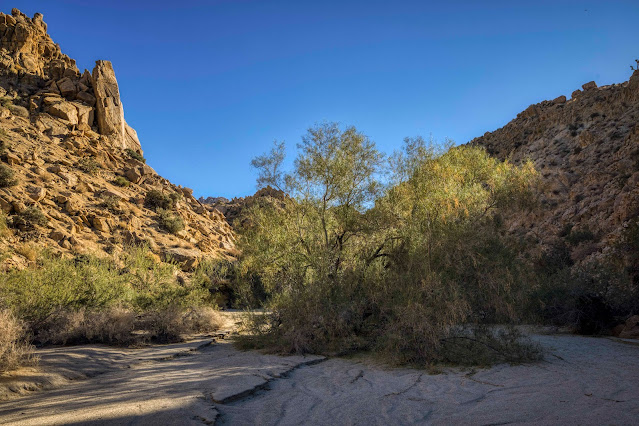
 I'm kicking off 2022 with one of my favorite hikes in Joshua Tree National Park. In the past, I've referred to it as Handprints Cave, but it's really more of a shelter than a cave, and has been used as a shelter by Native Americans many years ago. My first visit to this amazing spot was in November 2019, and I did it as a solo hike. My second visit was with my friend JP in January of 2020, and we ended up making it a loop hike, thinking it might be easier and more interesting. Well, more interesting, but definitely not easier! At one point in the loop, we hit a boulder-filled canyon that was very difficult to pass. Interestingly, I've looked all over my blog for this post and am unable to find it. I must have never posted, which is too bad, because it was a memorable hike with a lot of great photos.

Roger and I (red backpack), with the "red obelisk" in the background.
 
So this represents my third hike to Handprint Shelter, and Roger and Mitch are joining me on this one (credit goes to Mitch for the above photo). After studying Google Maps for hours, I'm confident we can repeat the loop hike but bypass the "canyon from Hell" section with the huge boulders. I have everything all mapped out on my Garmin, and we just need to turn left at a particular spot rather than continue right. Couldn't be easier, right? What could possibly go wrong?
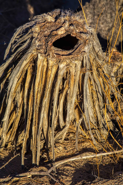
Dinosaur rock... appears to be sniffing a tree!

I was hoping to find a small pictograph site on the hike in.
Can you see it? It's a faded pictograph in a remote and difficult to reach location, but I'm pleased that I was able to find it.
 
A close-up of the pictograph, with some color enhancement. It's unusual, and I've not seen another like it. 
 
Underneath the pictograph rock is an area that could have been used as a shelter. Very interesting area! But it's time to continue on our hike.
 
Mitch and Roger taking pictures of petroglyph rock. There's reported to be another faded pictograph in this general location, but I was unable to find it.
 
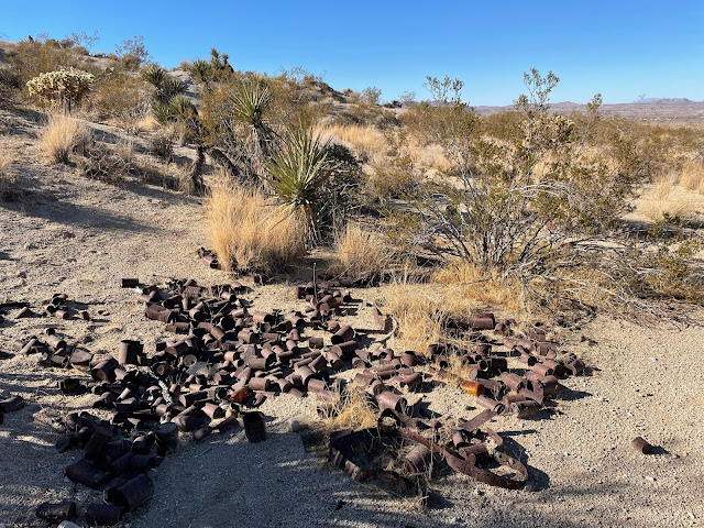
We did find this interesting hollowed-out boulder. I looked inside but didn't see any rock art. To give it a thorough inspection, you would need to remove your pack and crawl in, which I didn't do. Maybe next time.


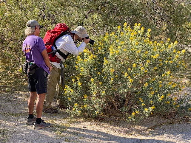
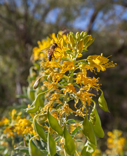
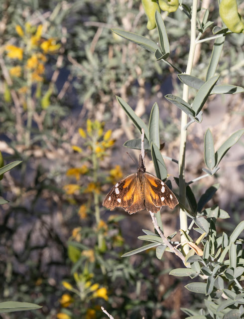
We spotted these pretty blooms on the hike in. The bees were loving it!
 
We finally make it to Handprint Shelter. This is such an amazing site that even on my third visit I was in awe. Just inside the shelter is a very large boulder with a grinding surface that looks like it's seen a lot of use. On top of the surface is what looks to be an original mano (grinding stone). The stone is large and heavy, and my guess is that it was used to crush large seeds and nuts (there are oak and pinion pine in the area). It's very rare to find a grinding surface with intact mano, so this is really a treat. And I'm pleased to see things are exactly as I left them on my last visit to this site.

All the handprints really make this site special. Looking closely, you can see there are newer handprints over older, more faded, handprints, so very difficult to tell how many total handprints there are at this site. They are all below a zigzag line border, which runs about 12' in length (trust me... I took a tape measure!). It's impossible not to wonder about the significance of the handprints, the zigzag line, and other pictographs at this site. 
 
I won't share all the pictographs at this site, as those have been shared previously. But I will say there are a lot more here than just handprints!
 
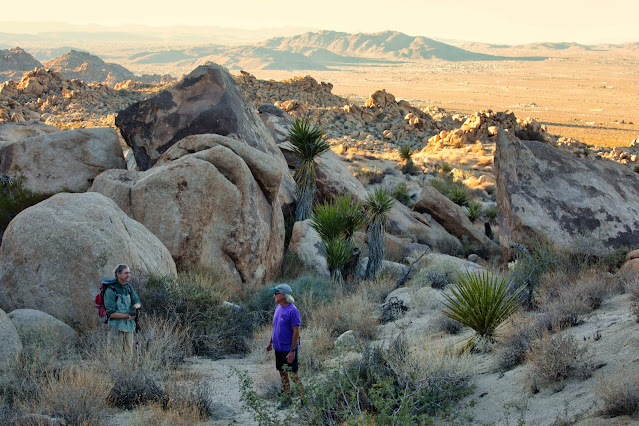
Roger and Mitch looking down into the Wonderland of Rocks.
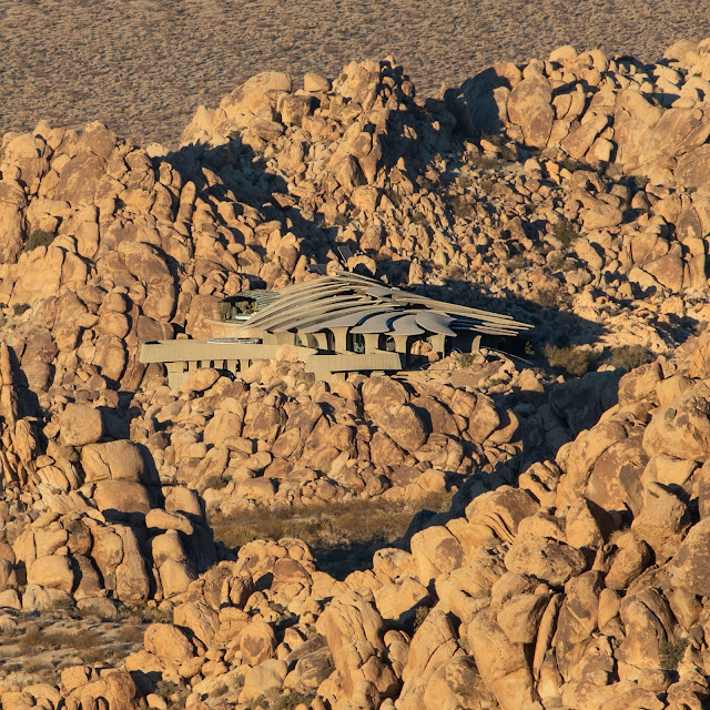
Grumpy rock


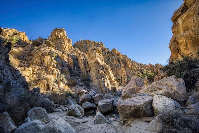
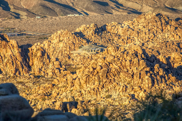
Remember earlier when I said "What could possibly go wrong?" I think it was at this point that my confidence in finding the easier way through this rocky maze started to wane. My Garmin was pointing me in the direction of a huge hill of boulders. What looked like an easier route from satellite view on Google Earth was definitely NOT an easier route! So we had no choice, and proceeded up the "canyon from Hell", which is exactly what I was trying to avoid.
 
The struggle begins.

I'm glad Mitch took the time to take a couple photos. I was so absorbed in trying to make it through these boulders without dying that it didn't even cross my mind. We eventually made it through and out the other end, but not without a struggle!
 
After finally getting through "canyon from Hell", we discovered this area full of yellow flowers. Beautiful. The desert is always providing surprises!
 
We finished the hike in semi-darkness after sunset. Here's a photo of Mitch capturing the last light of the day on the rocky peaks of the Wonderland of Rocks. A tough, challenging hike, and one I won't soon forget. Thanks for joining me on this one!
 
Linking with Skywatch Friday.
Stay safe and stay healthy!