Thursday, June 30, 2022

Scorpius Arch Revisited

 It was about 5 years ago when I first visited Scorpius Arch. I can remember feeling the absolute remoteness of the area. How in the world did someone discover an arch way out here in the middle of nowhere?? I remember seeing a photo of Scorpius while researching its location, and reading this note:
 
"Do not ask me for the location of this arch. I will not tell you. This arch is in a remote part of the park that is not often visited. If you get lost or hurt in this area no one will find you for days or weeks. I will not have that on my conscience. If you message me asking the location of this arch, I will ignore you."
 
Fast forward 5 years, and Scorpius doesn't feel as remote anymore. The secret is out, and the arch gets visited on a somewhat regular basis. This area that I've hiked for 5 years now, usually without seeing another human footprint, is starting to become a destination. I usually see footprints now on my hikes. A friend of mine told me someone is conducting photo-tours out here, bringing out groups of tourists in a van, cameras and tripods in hand! Nooooooo!!
 
So now I mostly avoid Scorpius, but on a recent hike I had about 30 minutes of daylight left as I limped back toward my car (long hike and tired, sore joints). The sky was beautiful, so I decided to take a quick detour over to Scorpius. The detour turned out to be not so quick, as the arch was further away than I remembered, but still very much worth the extra effort!
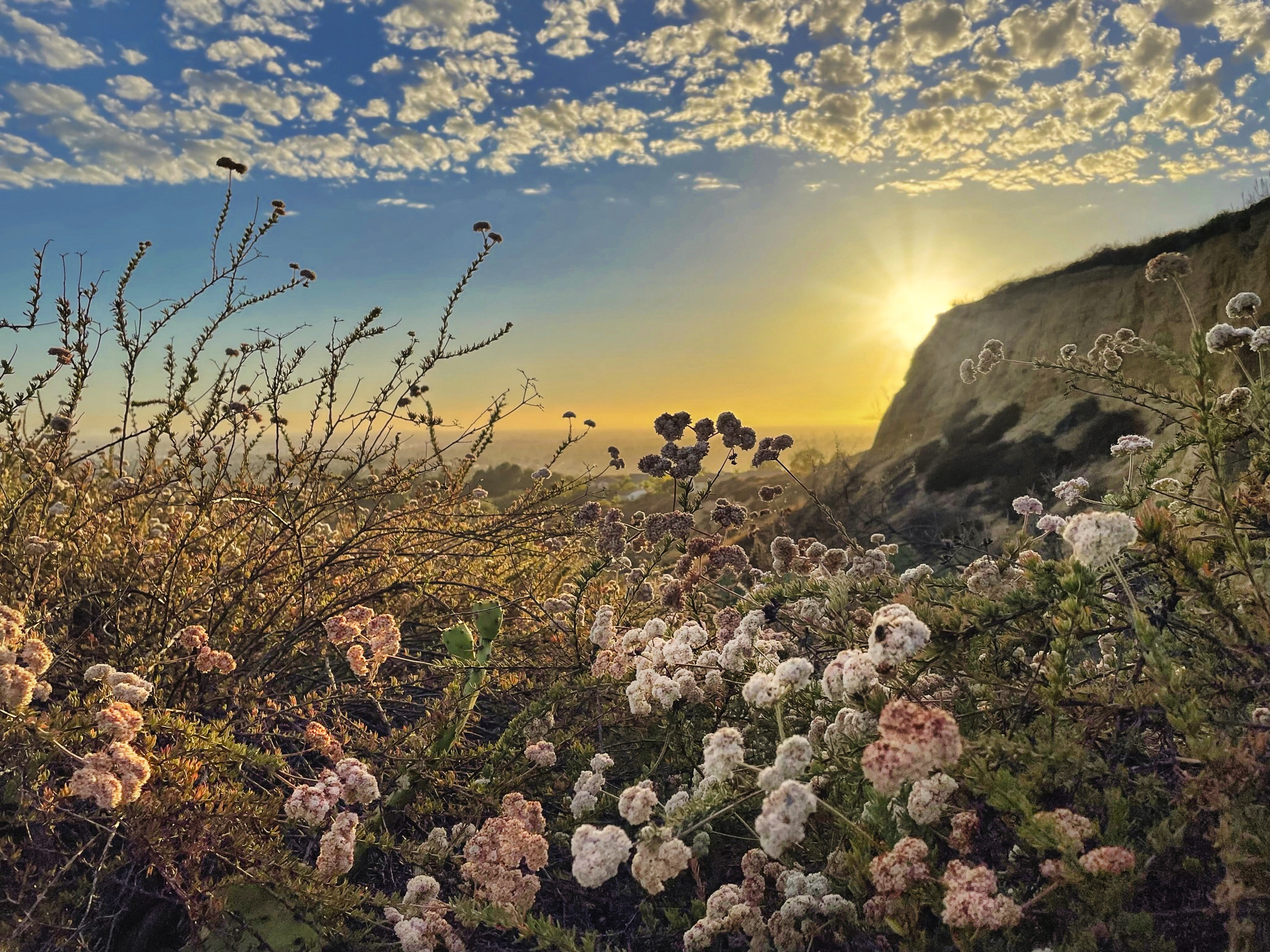
The smoke trees look so beautiful with "golden hour" lighting!


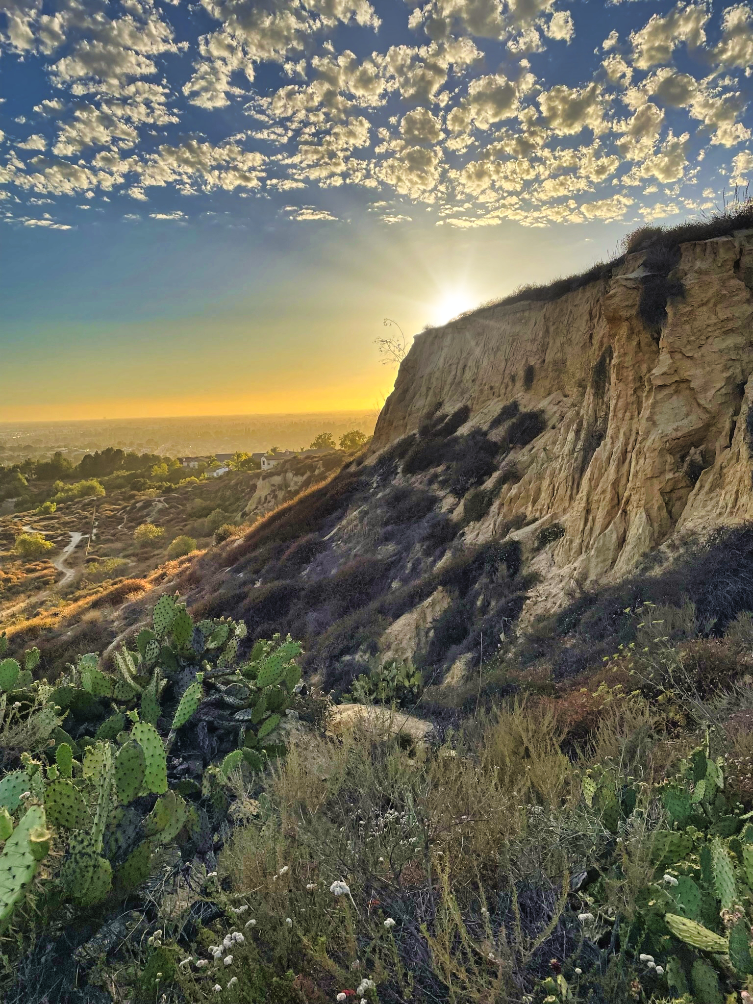
Scorpius Arch is over there somewhere... but where??
 
Finally... there it is! I like how the clouds seem to be draped over the top of the arch.


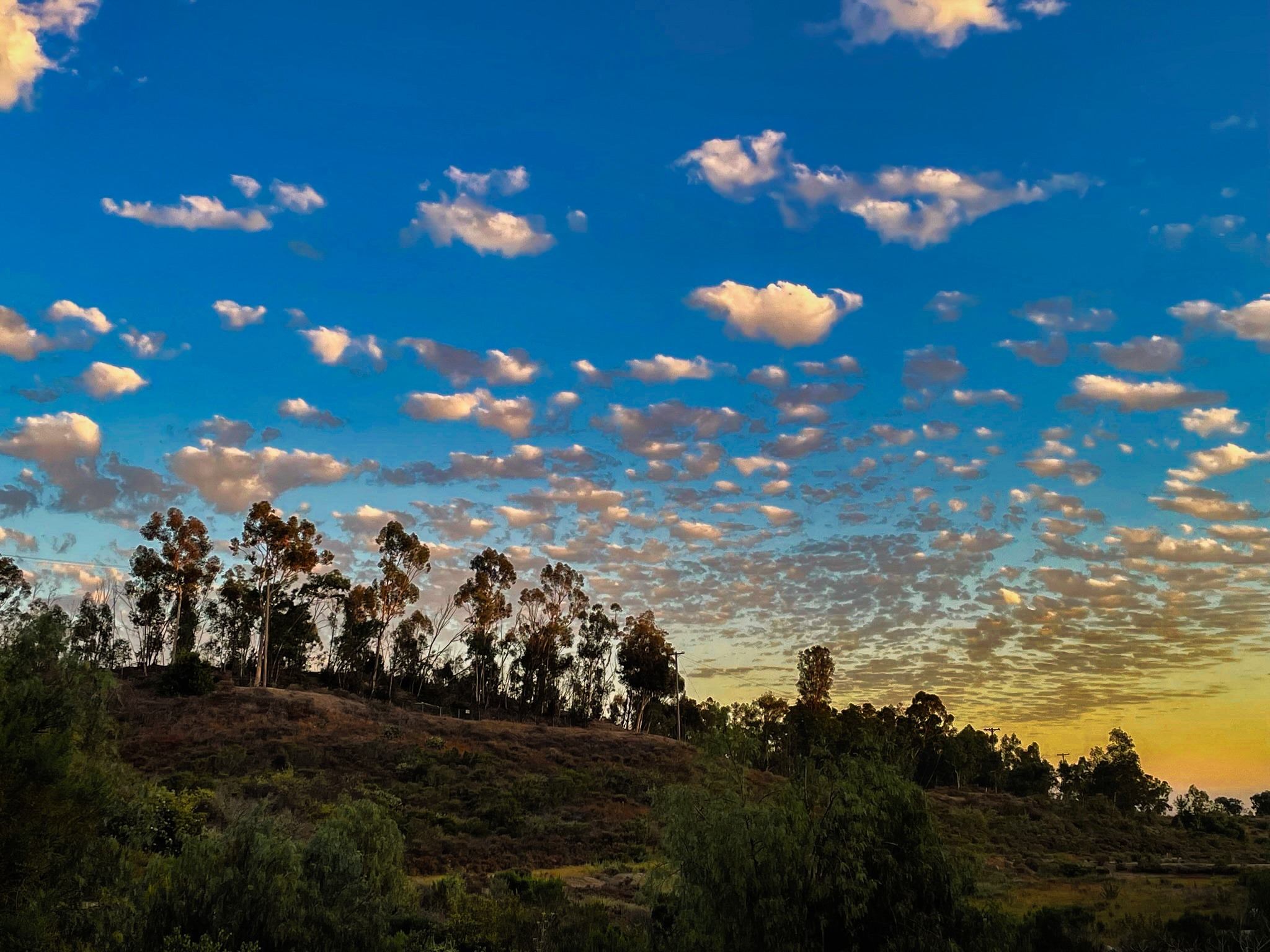
Last photo of the day... odd, smudgy looking clouds.
 
I guess I need to grudgingly admit that Scorpius is still one of my favorite arches!
Linking with Skywatch Friday.
Thanks for stopping by!!

Thursday, June 23, 2022

First Sunset of the Summer

 I went hiking in the Fullerton Hills with my friend Elliot, and we got lucky with pretty skies and a nice sunset. The only thing we didn't get lucky with were the swarmimg gnats. They followed us over our entire hike and wouldn't leave us alone! Oh well, a small price to pay.
Want to sit a spell? Kind of odd to find this old chair in the shade of a pepper tree. I wonder who took the trouble to haul it here, and why??
 
Hazy LA skyline (max zoom on my iPhone)
 
If you guessed quail tracks, you are right!
 
We made it over to the sandstone cliffs just before sunset (the first of the summer!), which turned out to be a beautiful time of day to take photos.
 
 
Those pesky gnats were everywhere, even photobombing my photos!
 
Pricky Pear cactus on the left.
 
 
Elliot, with a beautiful sky as a backdrop.
 
Some of my all-time favorite photos of the Fullerton cliffs are from this hike, and they were all taken with just an iPhone!
 
Linking with Skywatch Friday.
Thanks for stopping by!!

Thursday, June 16, 2022

The Disappearing Joshua Tree

 Disappointing. And sad. The California Fish & Game Commission couldn't reach a decision today on whether or not to list Joshua trees on the threatened species list. It would have given the iconic trees additional protection. The Commission will re-consider the issue in October.

You've probably heard the dire predition: Joshua trees will be largely gone from their namesake national park by the end of the century unless we take action. What a tragic loss that would be for us all. These photos of Joshua trees were taken a little over a week ago on my most recent hike. Enjoy!


Linking with Skywatch Friday.

Thursday, June 9, 2022

Clark's Pass Boulders

 Ever see a road and wonder where it goes? That's pretty much the premise of today's hike. The road less traveled (or in this case, almost never traveled!). This particular road was used by campers and explores prior to the Desert Protection Act (1994). After the act was passed, this part of the desert was designated as Wilderness Area, and no vehicles of any kind are allowed. The road has been closed since 1994, but I couldn't help wondering where it led.

The road is located within Joshua Tree National Park, and is just a little east of Clark's Pass. Compared to the NW end of the Park, which is at a higher elevation and gets more rainfall, this area is extremely barren, and gets crazy hot. Small, stilted creosote bushes dot the landscape, and not much else can survive here. It's an area that gets very few visitors, and it has it's own desolate beauty and big open skies.

Off we go. The first part of the hike was easy, as it followed the old road. It wasn't long before I spotted some interesting looking rocks off to the left of the road. Here's a closer look:
Let's go check out the rocks. To get to them, we need to leave the road and hike the open desert. The soil is sandy and full of critter burrows, which makes for slow going. Take 2 regular steps, on the third step fall 6" into a burrow, and repeat 1000 times! Hiking poles really help here.
 
Ya, these rocks look interesting!


I found a couple small petroglyphs on the rocks, but something makes me think they are not genuine. They look a little too recent. Hopefully I'm wrong.


Yup, desolate. Even the creosote are having trouble surviving out here!
 

An unexpected find, and a nice view through the middle of this boulder!
 
A beautiful piece of quartz!

I like this distinctive pyramid of rocks.

This boulder appears to be all tied up!
 
This was an interesting find. I posted here about an old WW2 bombing range. Who would ever guess that target practice with bombs dropped from airplanes (not live, fortunately) occured in what is now part of Joshua Tree National Park?! Anyway, the photo above shows a squished up practice bomb I came across on this hike, but it's almost two miles away from the actual range. Whoever dropped this bomb was waaaay off the mark!! Below is a photo of what these practice bombs looked like before being dropped out of the airplane. I read that they were filled with sand so the weight and handling would be very similar to a live bomb. Fascinating!!
 
Let's continue onward. Shortly after discovering the WW2 practice bomb, I come across this shallow alcove. Let's climb up and take a closer look...
That's interesting. Just inside the alcove is a small fire ring and a couple old rusty cans. Someone camped here, and by the looks of those rusty cans, it was many years ago!
 
Not far from the alcove, I see more evidence of camping.
 
And then I came across this, which was well hidden in the rocks. It's quite large and has a lot of wire attached to it. If it was used for cooking, then they were cooking something big! Perhaps the wire is to hang it over a campfire? 
 
And then this. A home-made BBQ! Put your coals or firewood underneath and you could cook most anything! Someone put some work into this, making a nice rock structure that surrounds the grill. There's an old beat-up children's toy car in the upper right of the photo. Probably some family used this spot as a favorite place to camp on a regular basis.
 
A nice little arch, not far from the "campground" site.
 
Last stop on today's hike is a large, deep wash I would like to explore (straight ahead). On my way I spot this lone red barrel cactus... the only one I've seen during the entire hike. I call him "The Loner".
 
It took some work, but I'm finally down in the wash. Total solitude, and not a single human footprint anywhere!
 
The wash makes a bend here, and the rare rainstorms have done an impressive job of carving this sheer wall of sand over many, many years.
 
I've exited the wash, and heading north in the direction of the car. You can just barely make out the rocks we visited at the start of the hike (top center). I'll hike back to those rocks, and then pick up the old road back to the car. 
 
Nice to have the moon for company on my hike back!
 
Now we know where the road goes, and I'm glad I followed it, at least for a little ways. Looking at Google Maps, I can see the road continues much, much further, well down into the Pinto Basin. So if you see a road and you're wondering where it goes, I would encourage you to follow it!
 
Linking with Skywatch Friday.
Thanks for stopping by!!