I wanted to start this post by thanking people who made comments last week about the "impossible paradox" the Park Service has regarding trying to both preserve Native American sites and allowing the public to enjoy and appreciate them. There were many insightful comments, and they are very helpful to me as I struggle with what and how to responsibly share some of the fascinating things I come across in the Joshua Tree National Park area. The brain power in the blogosphere never ceases to amaze me! So let me forge on...
It all started in mid-November 2019. I had spotted some interesting rock formations on Google Maps that I wanted to check out.
Please note: Many of the photos in this post are no where near the petro site.
If you look really, really closely you will see a climber on top of that rock formation.
I was following my waypoints for this hike, but proceeding slowly because of all the multiple stops to photograph interesting little arches and alcoves.
But as mid-afternoon turned into late afternoon, I had to make the decision: Push ahead to my final destination (rock formations I had seen on Google Maps) and risk hiking back in the dark, or do the sensible thing and start hiking back now? Of course, being the insensible person that I am, I chose to continue on. And very glad I did!
As I rounded a bend in the wash I was following, I drew in my breath as I spotted some large, beautiful rock formations. In the late afternoon light, they were spectacular! I won't share that particular photo because it might provide clues to location, but as I explored the area, I came across this interesting rock. Look closely in the center of the rock and you might be able to see what I am calling Water Dagger petroglyph. I think I may have rubbed my eyes in disbelief. In this area of the park, there are very few known rock art sites. Yet I had just discovered a large, beautiful petroglyph! Here's a closer view.
It looks roughly like the outline of a sword or dagger. The petroglyph is made up of a series of pecked circles, and I can't recall ever seeing anything quite like it in the Park.
After finishing my hike, the dagger-shaped petroglyph was about all I could think about, and I was anxious for a revisit. My second visit was a week later, and I took a tape measure with me. The petroglyph measures roughly 48" in height, so it's quite large. There's something resembling a "guard" at the bottom of the sword or dagger. Look very closely, and you will see spiral circular petroglyphs above the guard (one on each side of the sword). One interpretation of the meaning for a spiral is a pond or spring.
There are also bones and numerous pottery sherds in the general area. Each time I visit, I find more interesting stuff! I was able to connect with some local folks (JP and his wife) who have considerable expertise in Native American culture and we arranged what would be my third visit to the area.
This turned out to be a very productive visit, and I learned a lot from JP and his wife (I'll call her DJ). DJ was quick to find a large grinding surface that I had missed near the petroglyph, and even found the mano (hand stone) near by!
They also found a significant pictrograph site in the area that I had missed. There's a large rake-like pictograph and another picto that reminded my of a cowboy hat. And look closely at the bottom right of this shallow alcove and there is a small petroglyph. Reminds me of a cross with a base along the bottom. A very interesting and significant panel of rock art.
Along with the various pictographs, it looks like there may be some faded petroglyphs on this panel. Dstretch was used to highlight the rock art.
Large downward-facing rake.
"Cowboy Hat" pictograph.
My contribution to this third visit was to discover a water hole. It appears that the local area drains to this spot. Based on the smooth stone erosion, it's likely that water really rushes through here during a desert thunderstorm. This water hole is at least 5' or 6' below where I am standing. The rocks are smooth, and it looked like there was no way down (and more importantly, no way to get back up). I also noticed lots of animal poop in the area, which made me wonder how animals were able to get in and out of this smooth rocky crevice to get a drink. As I walked away to share my find with JP and DJ, I remember wondering how long water might last in that water hole. Could this be a significant source of water for local critters? That would be significant, because there are no water sources in this entire area that I am aware of, and very few critters. In all my many travels in this area, I've never seen anything larger than a jackrabbit.
 |
| Background blurred to protect location |
And yet, as I explore the area, there appears to be a well-defined game trail, and it travels within feet of petroglyph rock. How can you have a game trail in an area with no game?? I guess I need to rethink my assumption of no game in the area. And is it a coincidence that petroglyph rock is right next to the only game trail in the area? The plot thickens!
I can't stop thinking about the water hole I've discovered, and I decide I need to revisit sooner than later. So I hike back for a visit (my fourth) approximately 3 weeks after my initial discovery of the water hole. On this visit, I make the attempt to go "downstream" from the water hole and hike back up to see if there might be access.
To my surprise and delight, I find a narrow little area that looks like a miniature slot canyon. The rocks are very different from others in the area, in that they are smooth and water-worn.
It's narrow, but looks like I can get through (suck in that gut!!). It extends for at least 100', so it's a long and narrow space with steep rock walls on either side. Maybe this is the way critters get in for a drink?
I'm surprised to see the water hole hasn't dried up after 3 weeks. There has been no rain during this time. As a matter of fact, the water level looks the same. And what I thought was a water hole turns out to be more of a rectangular space surrounded by steep walls.
As I turn 180 degrees and face the opposite direction, I'm stunned to see a second water hole or water source. This water appears to be either seeping from underneath a large rock formation, or perhaps just trapped there. But it looks a lot cleaner that the water hole. Based on it's clarity, you could filter and drink it in a pinch. The big question in my mind now: How long will this water last? Perhaps I've discovered a little spring seeping from beneath the rock? That would be a huge finding, given there are no documented springs or sources of water in the area. Or maybe it will be dry next time I visit. Only time will tell.
As I'm hiking back out of the miniature water canyon, a thought strikes me: The overall shape of this water canyon is almost exactly like the petroglyph! The two water holes on either end of the rectangular space are like the sword guard, and the long narrow "slot canyon" section branching off perpendicular to the rectangular area is like the sword. The circular petroglyph swirls could perfectly represent the water holes! I'm so consumed by this that I feel compelled to make a sketch of the area a couple days later. I'm the worlds worst artist, but this might help you visualize the area and it's similarity to the petroglyph.

The two water holes are represented in green. The one on the left (marked "deep water pool") should be a little smaller, and further to the left, but you get the general idea. The orange area is where I was able to hike and is like a narrow miniature slot canyon. The arrows show the direction of water flow, and the narrow canyon actually continues on, but I ran out of room. Hopefully you can see the overall similarity to the petroglyph. So now you know why I'm calling it "Water Dagger" petroglyph. We were calling it "Sun Sword" or "Sun Dagger" for a while, but I think Water Dagger is much more descriptive of it's true meaning. Well, at least that's my novice interpretation!
Near the water holes, I find two (one shown here) Native American morteros. While morteros can be found in the higher, wetter NW part of JTNP, I've never seen one (or even a photograph of one) in this area. What an interesting find!
I also find some bighorn sheep poop in the area. May be that helps explain the game trail?? Prior to this, I would have guessed there were no bighorn sheep in the area. There's a population of bighorns in the Coxcombs, but that's a considerable distance from here.
I think my next steps will be to continue to monitor water levels in the water holes. It would be a significant find if water turns out to be available for months at a time at this location. Water in the desert is better than gold! I also want to follow up with the Park Service to alert them to the significance of this area. I'm pretty sure none of these findings have been documented anywhere, and they need to be.
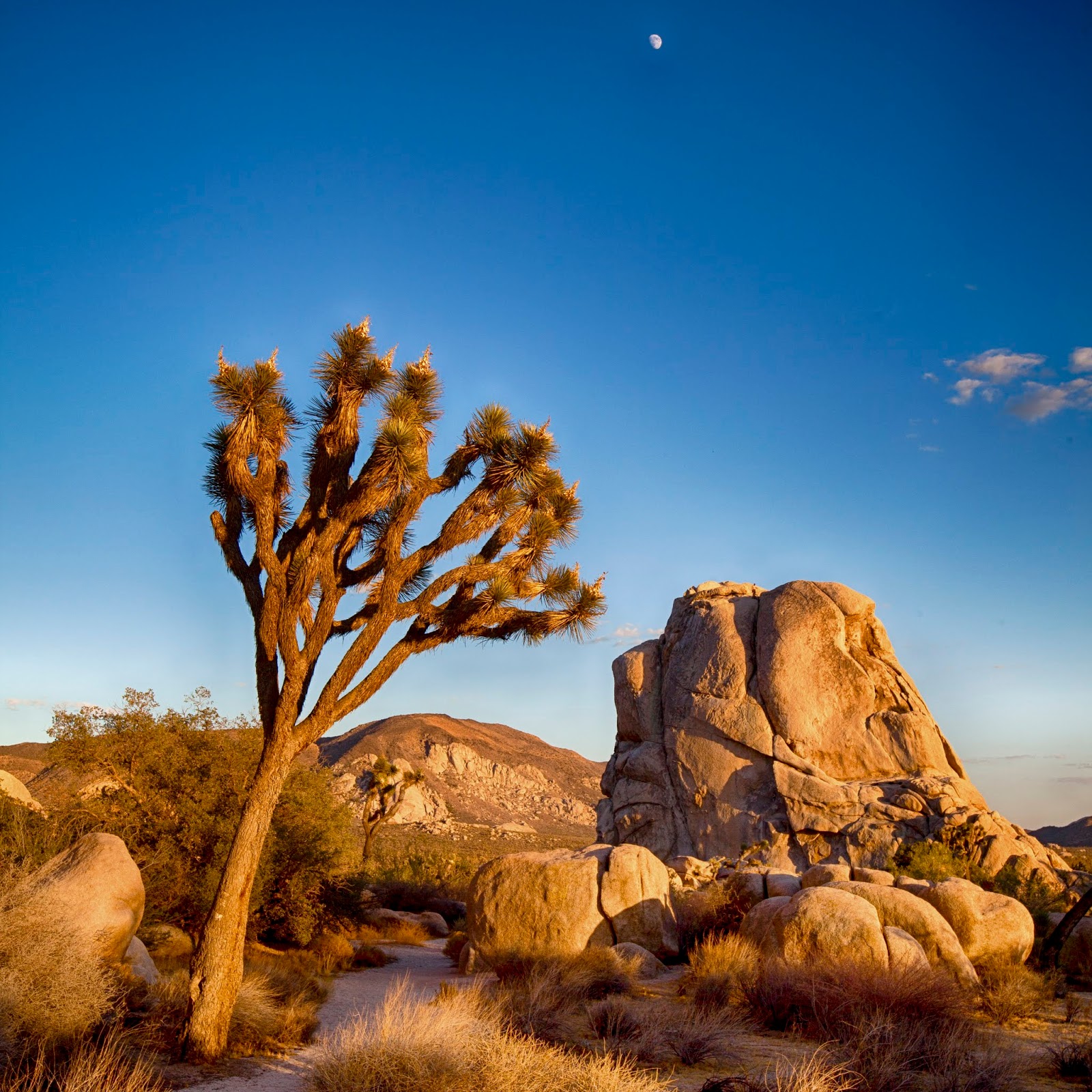
I'll leave you with a couple late afternoon sky shots. These were from other hikes so can't be used to identify location.
Thanks for stopping by!!