Over the years, I had heard rumors that Joshua Tree National Park maintains a collection of cultural artifacts, but they sure don't advertise it! I wasn't able to find any information on their website, even when I used the search function. However, when I Googled "JTNP museum collections" I was able to find it. Go figure!


We didn't have free reign in viewing the collection. We could only view what the ranger chose to show us, and obviously, we couldn't touch anything. She showed us only a tiny fraction of the overall collection, but even so, I felt incredibly lucky to be able to get this viewing.


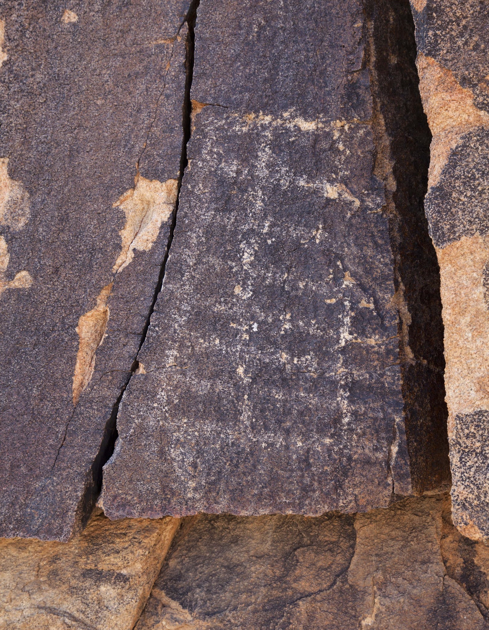
 It's hard for me to imagine what it would be like... sticking your head in a rock shelter and discovering a large piece of pottery like this! Certainly it would be the thrill of a lifetime. In the writings of the Campbells (a husband and wife team who lived in 29 Palms and explored extensively throughout JTNP in the early 1920's and 30's) they mention that many of the rock shelters they came across had ollas or other artifacts inside. Fast forward to the 1970's and beyond, and it's as if everything has been found and removed. Finding an intact piece of pottery is extremely rare, and I don't know of anyone who has found one. Which is unfortunate. I'm sure very few visitors appreciate the strong presence that Native Americans had in what is now JTNP.
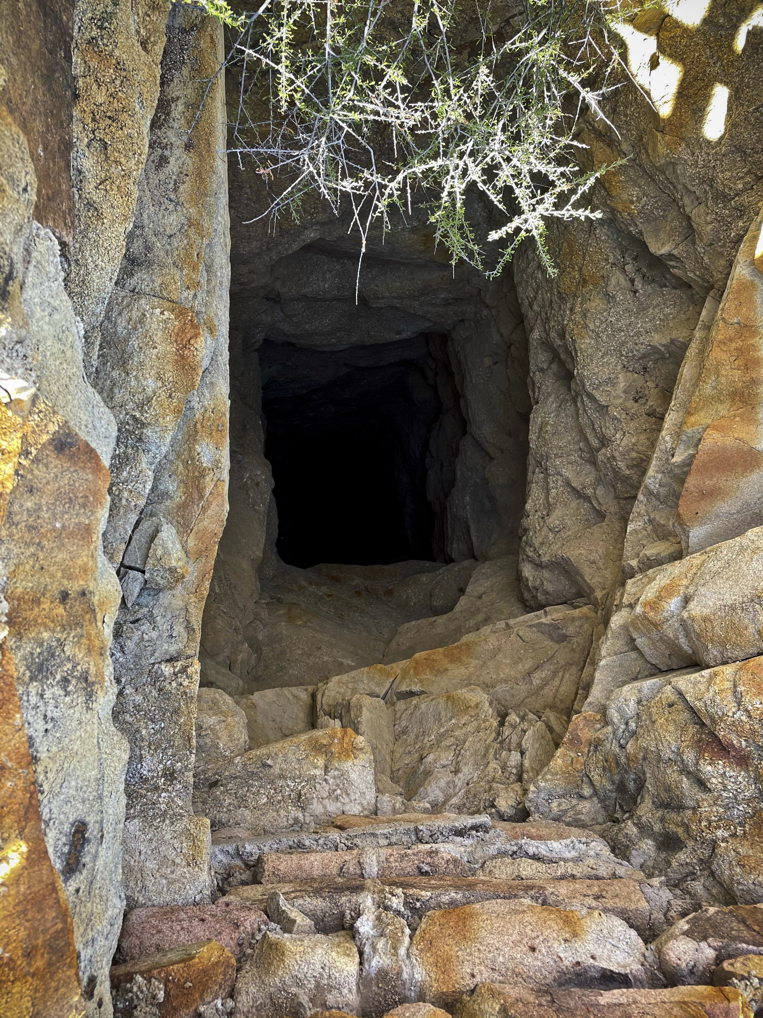
 A photo of a photo... The Campbells in the field, exploring a huge rock shelter. I've never come across this shelter, but I would sure love to know where it is!
 The museum contains all the Campbell field notes, which I think is fascinating. Much of what is stored at the museum was discovered by the Campbells. The above entries were made in Oct. 1933. Page 1962 starts off: "Stone Object (frag) Camp Cady Dist., Indian Camps in the mesquite covered sand dunes 1/8 miles east of Old Camp Cady Stage Station on N. banks of Mojave River". The entry goes on to describe the stone object in detail, and it's possible use as a whetstone.


 At one point in Joshua Tree's history, there was something of a real estate scam going on. The Pinto Basin (the hottest, driest part of Joshua Tree) was being subdivided into lots, and sold (often sight unseen) to
 suckers people looking for their own slice of heaven in the desert. Many improvements were promised, including unlimited access to an underground aquifer. Property values were all but guaranteed to go up sharply, and everyone would be happy! Each person who bought a lot received one share in the "Pinto Basin Mutual Water Co." Except none of the improvements were ever made, and there was no water, which made the property worthless. A sad story that's played out many times in American history. The share above is dated Sept. 17, 1929.


 Perhaps the strangest thing I saw were these absolutely beautiful paintings. Hanging on a wall behind the storage containers where no one could really see them, I could hardly believe my eyes. These really belong in a display where people can see and enjoy them, or perhaps loaned out to a local art gallery.
 As we finished up our tour and were leaving the building, I asked about these rocks piled up in the hallway. My eyes were immediately drawn to them, and I was pretty sure I knew what they were. The Park Ranger confirmed my suspicion: Beautiful examples of Native American morteros or grinding stones. She said there is no room for them in the overstuffed museum, so they sit in limbo in a hallway. I've found a couple over the years, and it's an incredible thrill, and one I will never forget. Unfortunately, there are knuckleheads out there that will steal them, so the Park Service is forced to collect and store them to keep them from being carried off. But it's a double-edged sword. Every mortero that's collected by the Park Service and stored in a hallway somewhere removes the opportunity for a hiker to have the incredible experience of finding a Native American artifact in its natural environment, and perhaps developing a strong interest and connection to that culture.

 I'll share the rest of our hike with you on my next post, but keep an eye on those clouds on the horizon. They will keep us company all afternoon, and provide some interesting activity just after sunset!


Old shotgun owned by James McHaney with hand-carved stock.


An arrow shaft straightener (I never would have guessed that!). The straightener would be heated in the fire, then the arrow shaft, which was soaked in water, would be pulled through the groove, back and forth multiple times until the shaft was, you guessed it, straight as an arrow!


Branding irons and old cans. It's pretty easy to spot the newest can!

Mining claim. A mining claim might commonly be folded up and stored in an old can under a pile of rocks on the property marking the claim.


I've only shared with you a very small part of the overall museum collections. The Park Service has an almost impossible challenge: Protect these incredibly rare and valuable pieces of local history, but find a way to share them with the general public. Everyone knows the Park Service is understaffed and underfunded, so the emphasis now is on protection rather than sharing. Our Park Service "tour guide" told us it's OK to share the photos we take, but said "there aren't enough hours in the day" to promote the museum to the general public. She's right. So the opposite has been happening, and even long time JTree residents don't know this beautiful collection exists.

_________________________________________________________
My friend and I had agreed to meet for a late afternoon hike. We started our hike along Keys View Road, where the elevation was almost 5000'. A little cooler at that elevation, but still July in the desert!