Thursday, September 29, 2022

South of Quail Springs (Part 1)

 If you are driving through Joshua Tree National Park and looking for a nice spot to stop to stretch your legs or have a picnic, it's hard to beat Quail Springs Picnic Area. Its rock formations make it one of the prettiest spots in the Park. I've stopped here many times over the years, but never hiked the area. On this hot summer day, I was looking for a short(ish) hike that I could do solo, at a higher elevation in the Park (cooler temps), and that wouldn't be too demanding. Hiking south out of Quail Springs Picnic Area seemed perfect.
A beautiful blue sky day in Joshua Tree!
 
Hiking south, it wasn't long before I reached these interesting boulders. A nice spot to explore and see what I could find.
 
Sleeping tortoise?
 
I came across these interesting petroglyphs. If you look really closely, you can see a couple bolts in the rocks. I suspect this area was used for livestock back in the day, and the bolts anchored some kind of fencing. The petroglyphs look like initials (from the old-timers who ranched in the area?) rather than Native American symbols.
 
The area with the bolts is surrounded on either side by boulder formations, which might have formed two sides of a natural corral.
Historical trash. Some of these cans likely date back to the 1920's and '30s.
 

More bolts
  
The ranchers used these little out-of-the-way spots to dispose of trash. The trash includes an old mostly disintegrated tire innertube. Been a long time since car tires used innertubes!

Another historic artifact...
 
... but more recent (internet photo). This one dates to the 1960's and 70's.

Hiking further south along the rocks, I come to what the climbers call the "White Cliffs of Dover". No passport required!
 
I think this is an old Pinion Pine burl. I love the texture and yellowing seen with aging. Likely there was a big beautiful pine tree here at one time. Perhaps the ancients sat on these very rocks, under the shade of this tree, surveying the desert around them.
 
Reminds me of a bottle opener.
 
I see a smiley face!
 
From a distance, I thought for sure I had discovered a cool new pictograph site. The lichen fooled me!
 
At this point on the trail, limber hikers can duck under this Joshua tree and continue on. I chose to go around.

Continuing on with my hike, the sun was getting lower on the horizon and the light on the rocks more golden. Very pretty!

Monochrome version
 

I love this late afternoon desert light and long shadows. Not sure if I prefer the monochrome or color version of this one, so sharing both.
 
With the sun getting lower on the horizon, it's time to hightail it back to the car. This is my favorite time of day to take pictures, and I'll share some sunset photos from this hike on my next post.
 
Linking with Skywatch Friday.
Thanks for stopping by!!

Thursday, September 22, 2022

Painted Nodule Pictograph Site

 OK, so yes, "Painted Nodule Pictograph Site" is not the official name. If I use the official name, it will give away the location. Plus, I like my name better. But let me back up and start at the beginning...

Mitch, Roger and I agreed to meet mid-afternoon to look for a pictograph site in Joshua Tree National Park. I knew the approximate location, but I also know the pictograph site was one boulder in a field of hundreds (thousands?) of boulders. Certainly no guarantee we would find it. Also, weather was working against us. We had to be careful not to overexert, and to carry plenty of water. When I left my house in 29 Palms, it was 106 degrees.
The hike itself wasn't particularly strenuous, and I was carrying a lot of water (which made my pack heavy). Not comfortable hiking weather, but hiking within our ability level. 

Interesting rock formations in this area. The one above reminded me of a sandwich with deli meet in the middle... turkey club sandwich, perhaps??

Ground level rock formation with concentric rings. I think Mitch named it Cinnabon Rock. Why are we always thinking about food while out hiking??

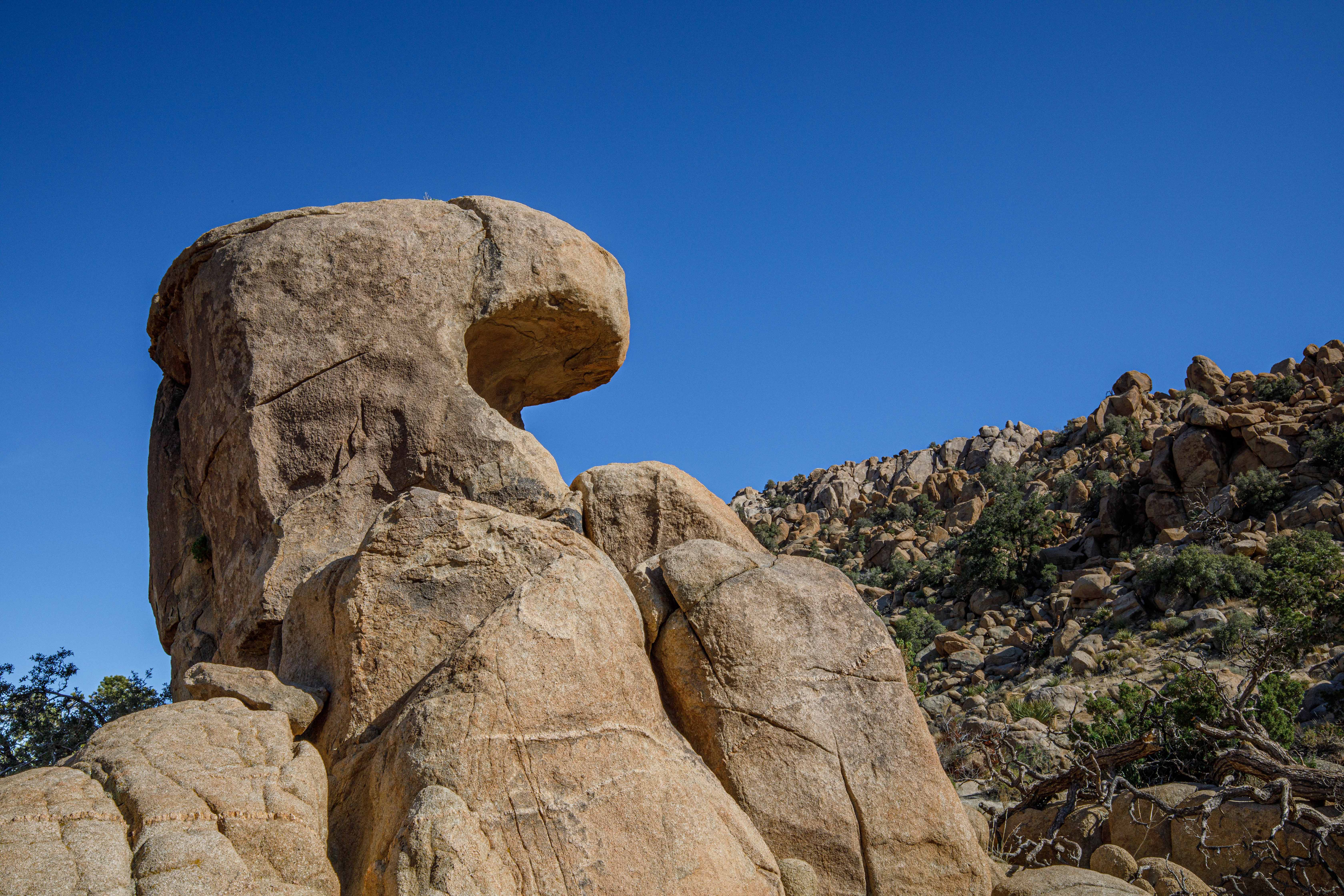
The rocks in this area are remarkable for having these rocky nodules that are harder, and erode slower, than the surrounding granite. They end up sticking out of the rock surface. This one looks like... a dog? A lizard?
 
In this area, quartz was littering the ground. Who knew geology could be so interesting? I certainly had little interest until I started hiking in the desert.
 
I knew we had to be getting close to the pictograph site, but there were boulders everywhere, and any one of them could be the site! Before finding the actual site, I spotted this grinding stone. It looked like it was broken in half, but easy to see the smooth area on the rock from years of grinding by Native Americans in an earlier time. A wonderful find!
 
Finally, we find that one boulder in 1000 that has pictographs inside. That's Roger taking a look. This boulder looks like all the others, and 99 hikers out of 100 would walk right by without noticing the pictos.
 
What an interesting site! I've never seen an arrow pictograph before (center of the photo, pointing up). I have no idea what its significance is. Of even more interest is the way the rocky nodules within this alcove are covered in pictographs. Let's take a look at a few.


Almost every rocky nodule has a pictograph on it. What significance could this possibly have? Certainly one of the more interesting picto sites I've come across!
 
A closer view of the red arrow, red lines, and what is either white pictographs or bird guano. They look a little too straight and deliberate to be bird guano, and also seem to run both vertically and horizontally. My vote is for white pictos.
 
A closer look at the red lines (and with a little help from dStretch) reveals that they aren't lines at all but are actually dashes. Each line is made up of four dashes. How unusual!
 
We search the area for more pictographs. Finding none, we decide to move on. There's a large impressive rock formation we want to check out.
It's hard to get a size perspective on how large this rock formation is, so I'll just say it's huge. The rocky walls are nearly straight up and down, and we were curious to see if it's a dryfall, with the rocky shute formed by water. Keep an eye on the large boulder in the bottom center of the photo above. We need to get over or around that somehow to check out the rocky shute.
 
Here's Roger sitting on that same boulder, with Mitch taking his picture. I have my back to the rocky shute.
 
The view looking straight up the rocky shute. I don't think this is a dryfall because the rocks are not worn smooth. Looking closely, I spot some climbing bolts in the wall (not visible in the photo). Evidently this is a climbing destination! I would estimate this rock wall goes straight up for 30' or more. 
 
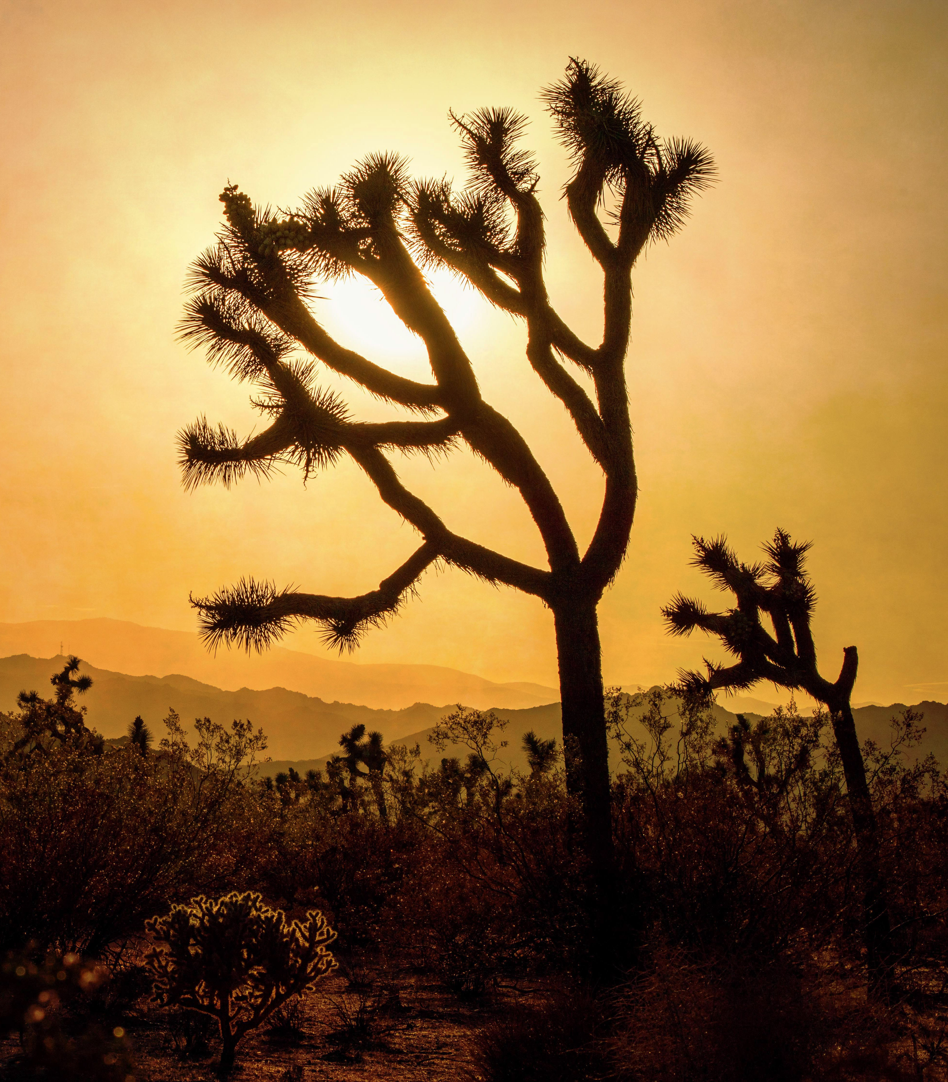
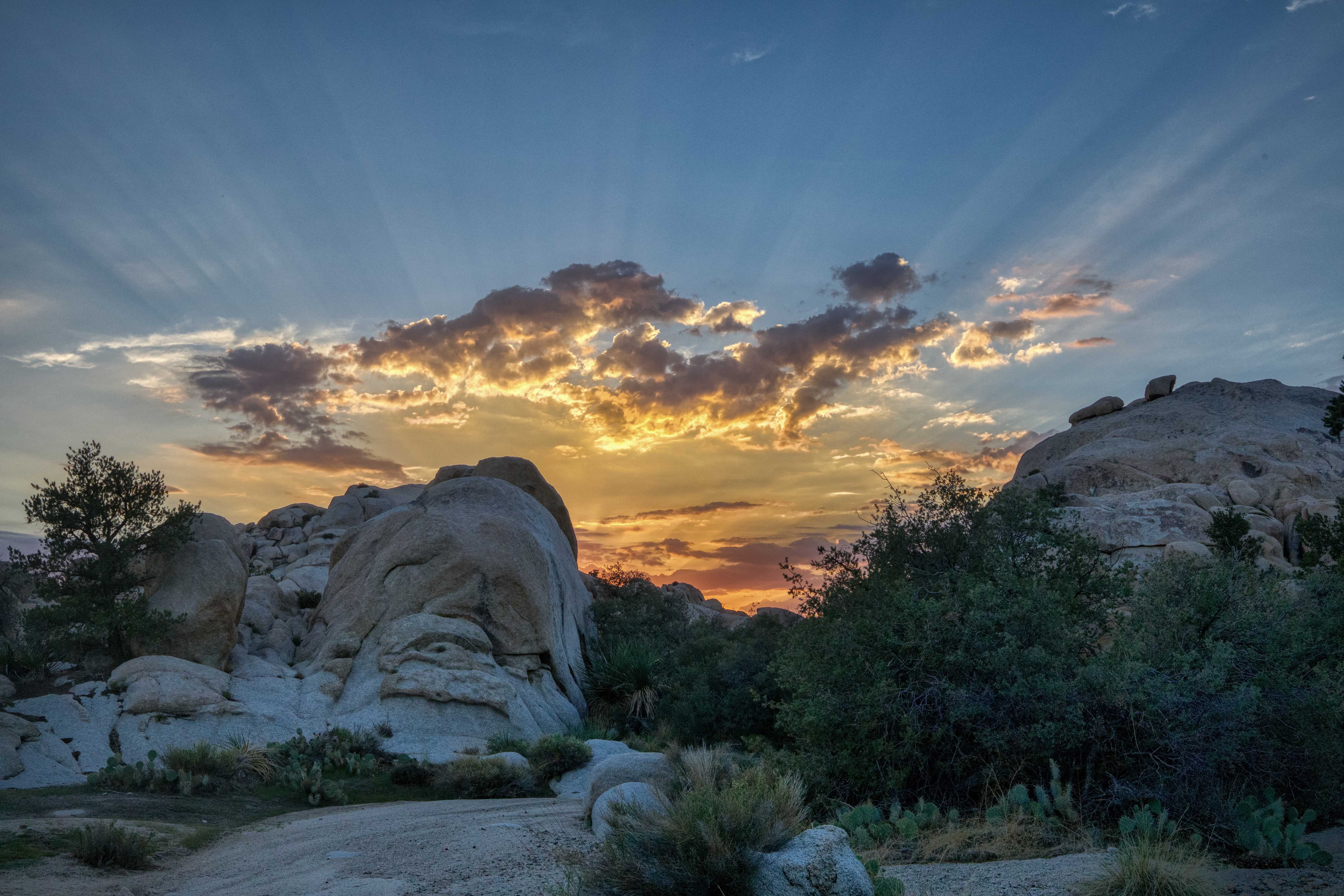
Photo taken at 7:44PM, and finally starting to cool off!

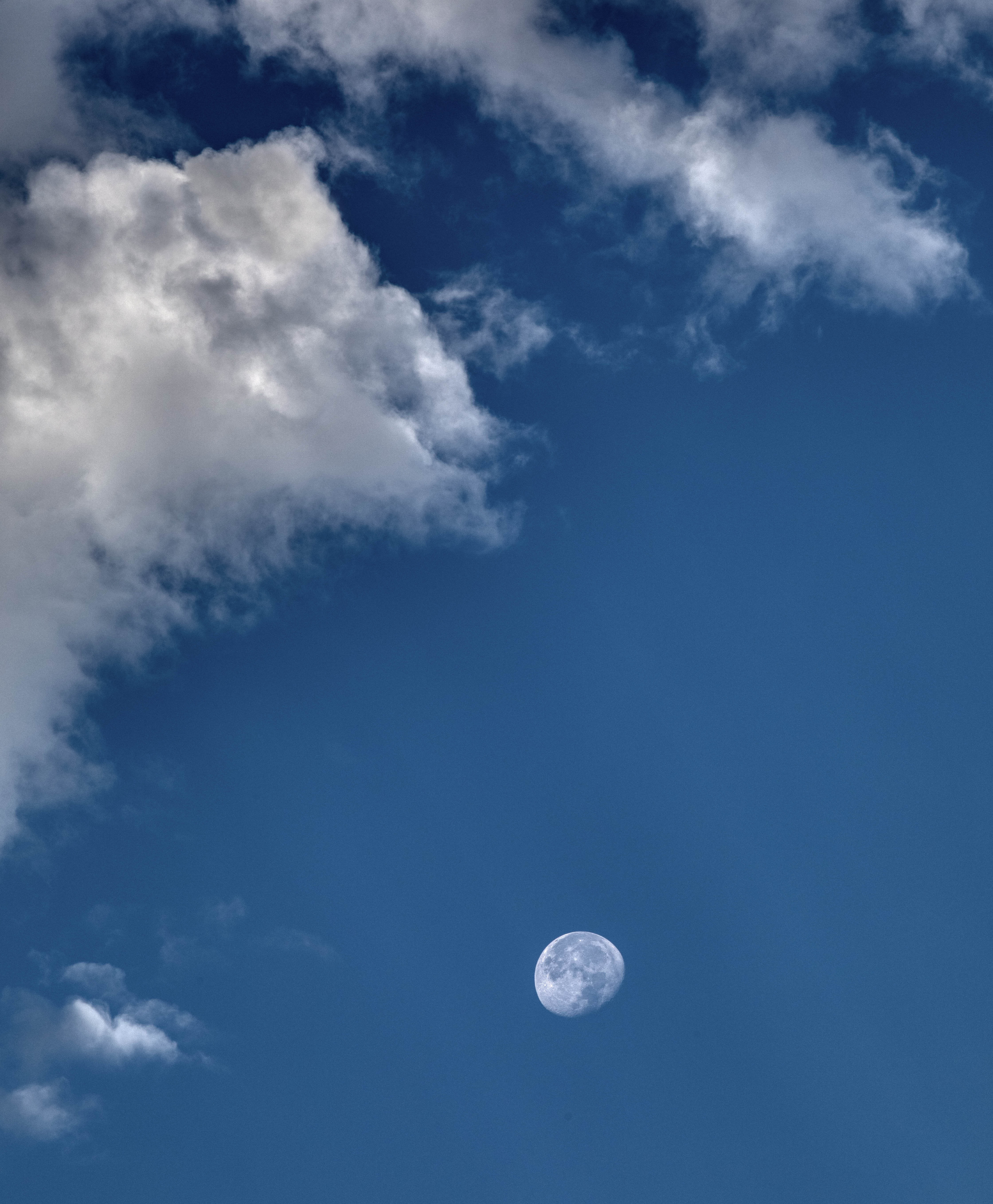
Moon was keeping us company while hiking back to the car!
 
By the time we had our gear packed and socialized for a bit, it was dark. Here's the windshield view as we drove away from the trailhead... Joshua trees illuminated by car headlights, and a magical moment frozen in time!
 
Thanks for joining me on this hiking adventure. Hope you enjoyed seeing the pictographs!
Linking with Skywatch Friday.

Thursday, September 15, 2022

Elephant Arches

 "Garrett's Arch and Elephant Arches are the most difficult locations to find in this book, especially Elephant Arches. Wandering this deep into the Wonderland should only be attempted by those with considerable experience in navigating rocky terrain, and preferably those already familiar with this part of the Wonderland. Those who do brave the labyrinth of granite will be rewarded wth the finest wilderness experience that Joshua Tree can offer."
Joshua Tree National Park: The Insider's Guide by Robert Miramontes
 
When Robert talks about difficult locations, you had better listen. He's not one to exaggerate. So let's see if we can find Elephant Arches. I'm hiking with Mitch and Roger, and I try to set expectations realistically at the start of the hike. I know where the arch is. I just don't know if we can physically get to it. I give us at best a 50/50 chance.
Distance is not the issue with this hike. After proceeding up the Wonderland Wash, it's a relatively short distance following an obscure wash to Elephant Arches. The issue is the wash itselt, which is difficult to navigate. It's narrow, full of boulders, and surrounded on both sides by steep granite walls. The bottom of the wash is overgrown with all manner of sticky thorny things that want to poke you and make you bleed. Bushwhacking in the desert is not fun!

In the areas where the rocks are too steep to navigate (which is much of the wash), you have no choice but to bushwhack. Navigating the steep, slippery rocks has its own set of challenges and dangers.
 
After nearly turning back, we spot Elephant Arches. I can see the elephant resemblance, with the head and eye on the upper left and the long trunk flowing diagonally down and to the right. But I wonder why "arches" and not Elephant Arch?. We make our way down off the rocks to take a closer look.
Much of the ground is covered by prickly pear cactus which makes it almost impossible to walk around the base of the arch and find good camera angles. We decide to climb up on the rocks for some photos.
 
From this angle, it's a beautiful arch, and you are only seeing about half of it. See the scrub oak on the lower left? That's hiding the view of the rest of the arch. We later discover the opening goes all the way to the ground! Garrett's arch is claimed to be the largest arch in JTNP, but I'm thinking Elephant Arches may be the bigger of the two. They are difficult to compare: Garrett's with a more traditional arch shape and round opening, and Elephant Arches with its long, diagonal opening.
 
Roger for size perspective. Hang on, Roger!

Yours truly. My new favorite arch!
 
I decide to try to carefully slide down the rocks on the other side of the oak tree to see what the arch looks like at its base and am rewarded with a major surprise:
Amazingly, the arch splits in two! You can't see the spit when viewed from the side. Now the name Elephant Arches makes more sense!
 
What an amazing and unique arch!
 
We decide it's time to start the challenging hike/climb back. We know what to expect, so the climb out didn't seem to be quite as bad as the climb in. The rock formations and late afternoon light are a thing of beauty!
 
Mitch up on the rocks under Monsoon skies.


As if seeing Elephant Arches wasn't enough, we are treated to an amazing sunset on the hike out.
 
My favorite photo of the hike. Earlier in the day, this area was dry. Then a thunderstorm moved through, lasting about 45 minutes, and creating this beautiful little stream. I just happened to be in the right place at the right time to see it in the late afternoon light. Beautiful!
 
Mitch, Roger and I decide our nickname for Elephant Arches is "One-and-Done Arch." Or perhaps "Never Again Arch." It was so difficult, we agreed that we don't want to do it again. And yet it's funny how time softens our memories. If I ask them in a month or two if they want to go back, I know what their answer will be.
 
Thanks for joining me on this really fun adventure!
Linking with Skywatch Friday.