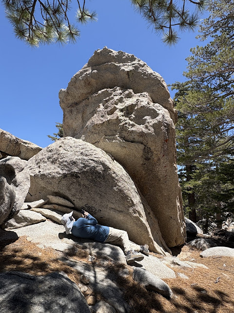
"May the peace of the wilderness be with you!"
This was just my second trip on the Palm Springs Tram. If you're in the area, I very highly recommend setting aside half a day (more if you want to do much hiking) to ride the tram. Or skip the hike and have a sunset dinner at the restaurant at the top of the tram. Here's some basic information from Wikipedia:
The Palm Springs Aerial Tram opened in September of 1963 and is the largest rotating aerial tramway in the world! (The tram "cars" actually do rotate as they move up or down the mountain.) In 12.5 minutes, you travel from the Sonoran Desert (elevation 2,643') and exit the tram in an alpine forest (elevation 8,516') for a total gain of 5,873'.
The tram follows an incredibly steep jagged-rock canyon, and it's mind boggling to think about building tram supports on the side of a sheer cliff! On average, temperatures at the top of the tram will be 30-40 degrees cooler. On the day of our tram ride, it was low triple digits in Palm Springs and low 70's at the top of the tram. Perfect for a hike and a great way to escape the sizzling temperatures in the low desert!
.jpg) |
| Photo: Unknown |
This hike had a purpose. Mitch invited me to join him on one of his "training" hikes. He has a tram pass and once every week or so he does a long challenging hike at high elevation (starting at the top of the tram). This is great training for the backpacking trips he does every summer in the Sierras. His next week-long Sierra backpacking trip is coming up in a couple weeks, and I'll be joining him. My problem is I have never hiked or backpacked in the Sierras (although it's been on my bucket list for years) or at high elevations, and I have no idea how my tired old arthritic body (let along my cardiovascular system) is going to repond to a multi-day backpacking trip carrying a heavy pack at elevations above 10,000'. I figure this tram hike will give me a taste. For this hike I'll be carrying a much lighter pack at a lower elevation, and if I have trouble doing this one, then I have no business attempting the Sierra hike.
Early on our hike, we pass by this mountain stream. Nope, we're definitely not in the desert any more!
After hiking for a while, we come to a spot that has beautiful views looking NE.
 |
| Whitewater Wash above and to the right of my head. |
 |
| Multi-colored lichen on some of the boulders. |
 |
| Mitch up close and personal with some lichen! |
Alien visitor? According to Copilot, this is called snow plant - Sarcodes sanguinea. It's navite to forested areas of the western US, especially in the Sierra Nevada. What makes it fascinating is that it's not green and doesn't photosynthesize like most plants. Instead, it's a parasitic plant that taps into fungi in the soil, which are connected to tree roots.
We hiked over to Hidden Lake, which it totally dependent upon snowmelt to fill it up. This being a dry year, the lake was just a mudpuddle.
 |
| Compare this photo to the one below (taken at about the same location). |
.jpg) |
| Hidden Lake in a good year (photo courtesy of Mitch Miller). |
 |
| Some of the views look like what you would see from an airplane window! |
 |
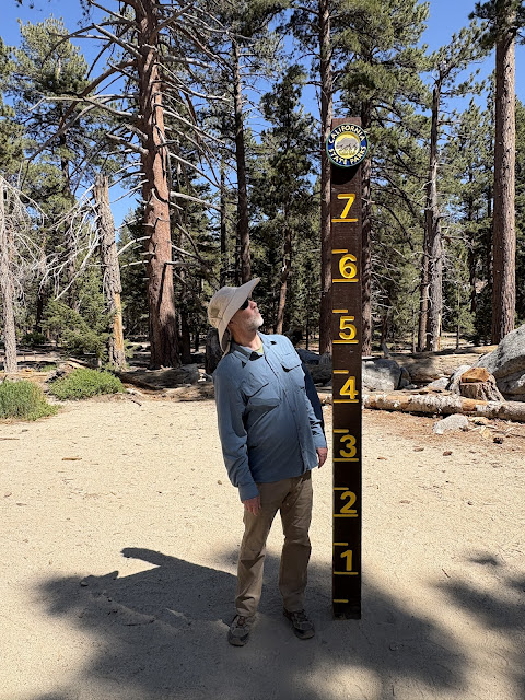
| No need to measure snow depth during this visit! |
 |
| Back at the ranger station. |
 |
| A well deserved break for some delicious cookies my sister made! |
Thanks for stopping by!!
Linking with Skywatch Friday.
P.S.: The hike went well. I did notice a bit of a headache at times, which I'm sure was due to the elevation. Overall I'm reasonably sure I can succeed at my upcoming Sierra hike which starts around 10,000'. Wish me luck!


