And now for something completely different! I'm usually wandering across desert terrain, the more remote the better, but for this hike I will have to brave the freeways and fight the traffic of Southern California. The Mt. Wilson trailhead is in Sierra Madre, and I'll need to head up the 5, then up the 605, then west on the 210. All busy any time of day, and potentially gridlocked during "rush hour" or if there's an accident. Yuck!
Oh, and I don't want to spit this hike into two posts, so I apologise for the large number of photos. Pull up a comfortable chair and enjoy!
I know from experience it's a beautiful trail and worth the drive. I lived in Sierra Madre from about 5th to 10th grade, and this trail was like my back yard. But it's been many years since I've been back, and the memories come flooding back at every twist and turn. This Mt. Wilson Trail sign didn't used to be here. Mt. Wilson is 7 miles from this spot, so 14 miles round trip. Even worse is the 4,740 feet of elevation gain from this sign. That's beyond my capabilities. So my goal today is a modest one: Just 1.5 miles to First Water. It's a short but steep hike, with nearly 1000' gain of vertical. Looking back at the start of the trail, there are oak trees and shade. But don't let that fool you. Beyond this, there's little to no shade all the way to First Water. It's not a hike I would recommend in the summer. Side note: As a kid, I hiked it all the time in the summer. Never carried water (it never even crossed my mind). I would get to First Water hot and tired, lie down on my stomach, and take a long drink right out of the stream! Never got sick, but I certainly wouldn't do that today.
 |
| Perfect day for a hike! |
 |
| Early on the hike you get a peek of the Sierra Madre dam. |
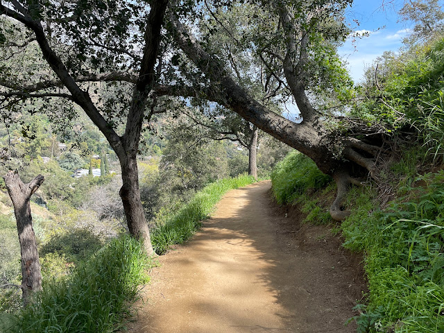
A typical Mt. Wilson Trail view as it starts it's climb up to first water. Much of the trail has sheer drop-offs. It's carved into the side of a very steep mountain. Funny thing, I don't recall these steep drop-offs from my childhood memories. But now as I'm closing in on 70, I'm not a fan!
We used to call this oak tree "first shade" and it's a perfect spot to stop and rest. I was so glad it's still here. It's gotta be hundreds of years old.
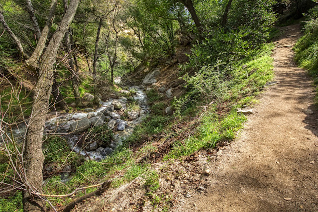
From nearly the start of the hike, I could hear a background "drone" noise that I couldn't identify. I figured it must be freeway traffic, but as I hiked up the trail, it got louder. It finally dawned on me that it's the sound of water rushing down the canyon! All the recent rain has turned what is usually a little trickle into significant water flow. In the photo above, you can see a section of the trail I've just hiked up with the canyon down below. You can't really see any water flowing from this view, but it's down there and you can hear it!
Finally I started to get some views of the water flowing in the canyon below. I never realized this area has so many waterfalls! I used a telephoto lens for these photos. The waterfalls are further away than they look, and a big drop down into the canyon, and there's no way to get to them unless you have some serious climbing skills and a rope!
 |
| This section is so steep it requires a railing! |
Uh oh, trail washout! They are putting in a lot of work to keep this trail open. One guy showed me some big lagbolts in the rocks on the right. The bridge will eventually be secured with cable to the bolts. For right now, it's just those 2x4s holding things in place. The little sign says "WARNING: Use at Your Own Risk!"
 |
| Since I have no idea who Charlie is, I stay on the main trail. |
I finally make it to the fork in the trail. To the right is First Water. The Mt. Wilson trail continues for 5.5 more miles on the left, and I'm thankful I'm not going left!
Looking back at the short trail (right) leading down to First Water (left). It's even prettier than I remember it, with a beautiful canopy of oak and sycamore trees and patches of golden light streaming through. The word "riparian" comes to mind, and for this old desert hiker, this is something I don't often get to experience. Photos really don't do it justice.
 |
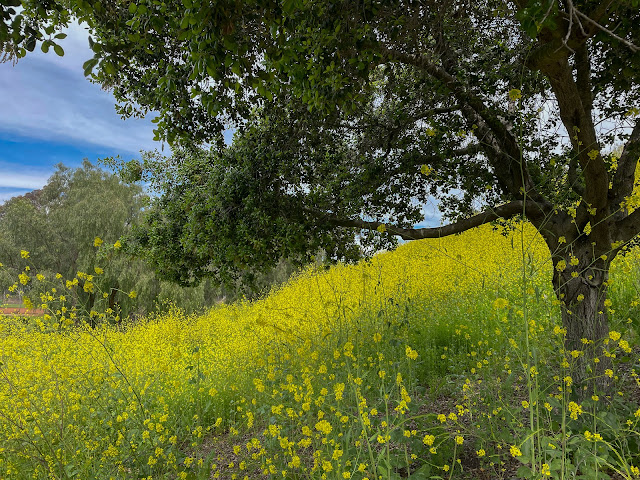
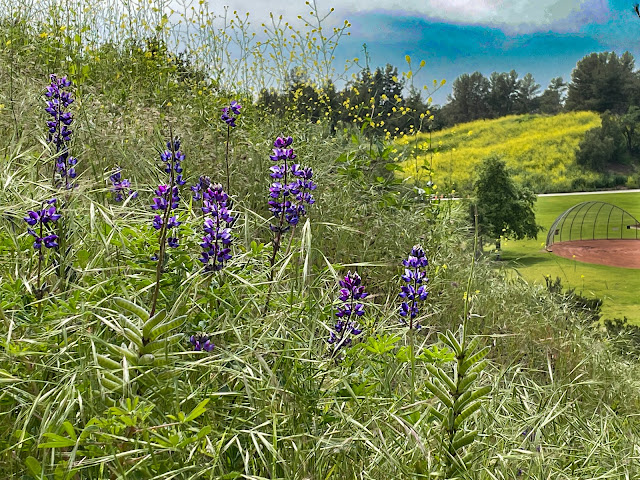
| Flowers along the trail. |
I enjoyed the hike so much that I brought my sister, brother-in-law, and granddaughter Lilly back and hiked it again a couple weeks later!
Thanks for dropping by!


.jpg)


