Thursday, November 10, 2022

Samuelson's Rocks on a Cloudy Day

 My first visit to Samuelson's Rocks was June of 2017 (Samuelsons Rocks Part 1 and Samuelson's Rocks Part 2). Looking back on these posts, it's funny how it seemed like such a remote hike back then. Joshua Tree National Park has gotten busier and Samuelson's Rocks gets more visitors these days. It's no longer a remote hike where it's very unlikely to see another hiker. However, it's still a lovely hike and you might get lucky (like I did on this particular day) and hike all day without seeing another hiker!
 
It had been about 3 years since my last visit to the area. I had just finished my hike to the Quail Springs Pump House and still had an hour or two of daylight left. It was a beautiful cloudy day, perfect for landscape photography, so what the heck, lets go check out Samuleson's Rocks!
 
Before starting my hike over to Samuelson's Rocks, I noticed a hill with a dead Joshua tree trunk at the very top and wondered if it was a marker for something (it looked like it was carried to the top of the hill and was propped up by boulders). Hiking to the top of the hill (huffing and puffing), I didn't find anything significant other than an awesome view!
 
And even a hint of a rainbow!
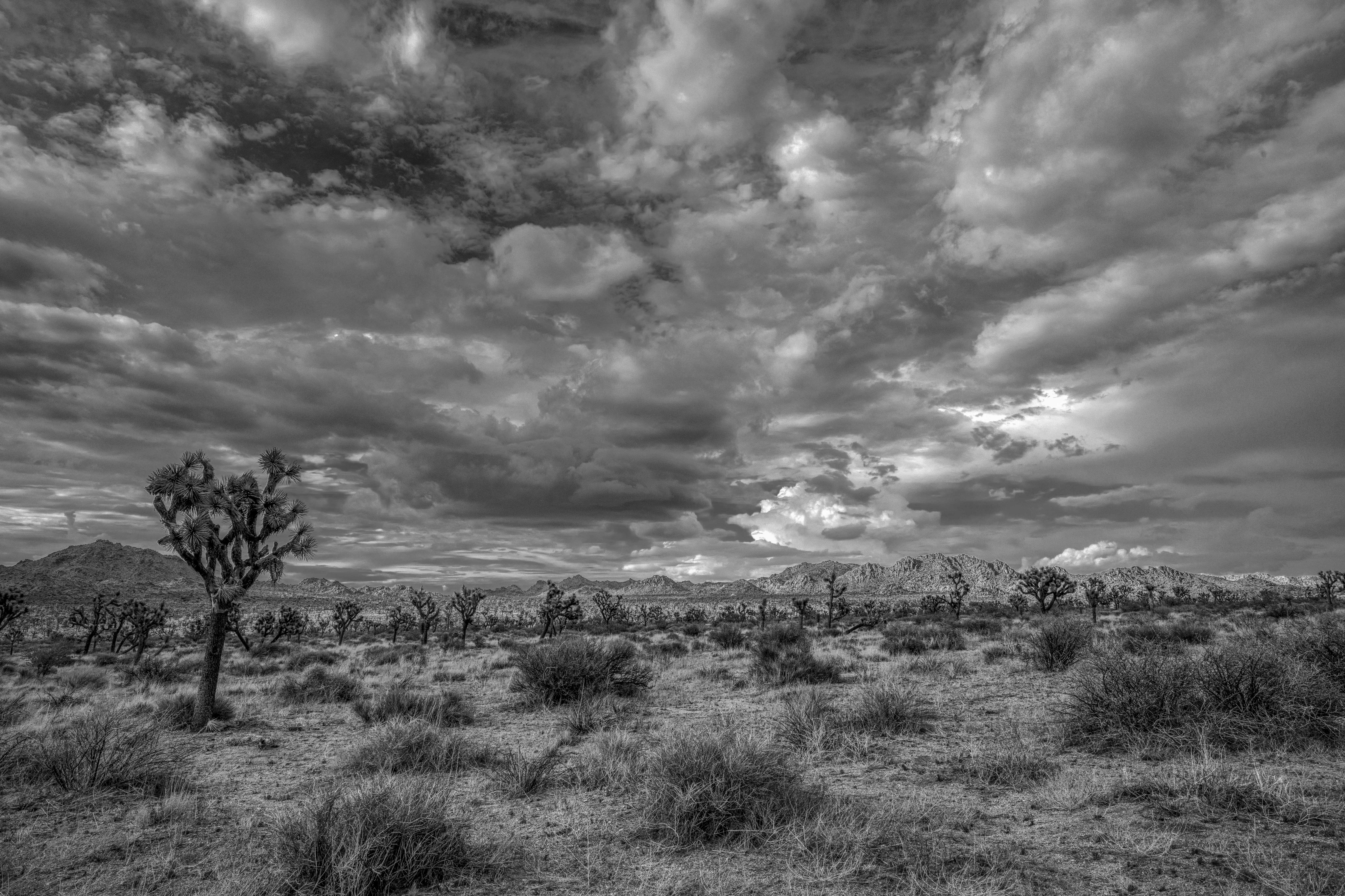
 
 
Desert skies don't get much prettier than this!
 
Johann Samuelson was a Swedish prospector who was one of the most colorful and/or crazy (I suspect a bit of both) characters in the early days of what is now Joshua Tree National Park. His tall tales include being shipwrecked in Africa, taken as captive deep into the jungles by natives, surviving man-eating ants, winning the affections of a beautiful tribal princess, and discovering a huge stash of gold. After a random meeting between Samuelson and Erle Stanley Gardner (who was himself an intrepid desert exporer), Gardner was so impressed with his story that he bought the publishing rights and dedicated a chapter in his book Neighborhood Frontiers to Samuelson.


J.S. slept here!
 

Remains of an old corral below Samuelson's Rocks
 
The sky was getting darker and cloudier on the hike back to the car, but some patches of blue were still visible. I was expecting a cloudburst but only got a few sprinkles.

Thanks for joining me on this hike to one of the more unusual places in Joshua Tree National Park! 

Linking with Skywatch Friday.


Thursday, November 3, 2022

Quail Springs Pump House

 Today we're heading out to a location called the Quail Springs Pump House in Joshua Tree National Park. It's been quite a while since I've visited, and I'm hoping it's as interesting and well preserved as I remember.
I was lucky I chose today for a hike. A little light rain as I drove into the park, and dramatic skies for the entire day.
 
A nice benefit to hiking to the Pump House is that there are some cool things to see along the way. This old rusty car is a favorite. I'll bet it has some stories to tell!


I've even photographed it back in 2019 at night under the Milky Way:
 
"Historic" trash.
 
Not far from the rustmobile is a collapsed homestead cabin. It's likely whoever lived here owned the car. I've never been able to learn who this cabin belonged to. It's quite a mystery.
All that's left is a bunch of wood on the ground and some nice stonework that must have been the front porch. The coolest thing about this old cabin is that it has a cellar!
 
Part of the floor has collapsed down into the cellar, but at one time, it would have been quite large. Nice craftmanship on the stonework!
 
The front porch, and more beautiful stonework. Spectacular desert views. Sure makes you wonder who lived here and what he/she/they did!
 
Time to continue my hike to the primary objective (the old pump house), but first let me show you what the skies look like:

~~~~~~~~~~~~~~~~~~~~~~~~~~~~~~~~~~~~~~~~~~~~~~~~~~~~~~~~~~~~~
 
Ta daaa!! The Quail Springs Pump House in all its glory! I'm pleased to see it's still standing and actually looks to be in very good shape. It's about 1/2 mile from the old (collapsed) homestead cabin. Seems like you would want to put your well closer to your house, so not sure if the cabin owners had anything to do with this pump house. Then a friend of mine sent me an old Park Service map:
Unfortunately, it's not dated, but it shows "Horse Camp" near where the pump house is located. It appears that back in the day, you could come to Joshua Tree National Monument and rent horses and go horseback riding! It's also possible the Park Service built this well and pump to keep the horses watered.
 

The pump house has an old fashioned pump connected to a pipe that leads to a trough. And here's the best part: IT STILL WORKS!!
 
Let's take a closer look inside the pump house:


Found just outside the pump house (and left it where I found it).
 
I love this old pump house, but it's time to continue on. I think I have enough daylight left to hike over to Samuelson's Rocks (I'll save that post for next time). Before doing that, I hiked to the top of a hill next to the pump house for some nice desert views.


Thanks for joining me on this hike to the old pump house!
 Linking with Skywatch Friday.

Thursday, October 27, 2022

Amboy, CA

 Amboy is one of those little towns on old Route 66 that time has forgot. At one time it was thriving. Now, not so much, but tourists and photographers are still drawn to it. Roy's Hotel has got to be one of the most photographed signs in the desert!
They've refurbished the sign and now leave it on at night, which is great for taking pictures! The vintage car next to the sign is a nice touch.
 
While I was there, there was a couple from Germany posing by the car, so Amboy has become something of a destination. To my right and behind where I was standing for this photo are 8 - 10 bungalows that were the actual motels. Weary travelers could pull their cars right in front of their bungalow, unload the kids, get gas, a quick meal, and (hopefully) a good nights sleep before getting back on the road the next morning to continue their travels. 
 
The old Amboy cemetery on the outskirts of town. Can you see the Roy's sign?
 
Getting ready for Halloween, Amboy style!
 
Totally unplanned, I spotted this beautiful full moon rising to the east of Amboy. It appeared to be resting on a bed of clouds. What a lucky opportunity! Putting my camera away, we jumped in the Jeep prepared to drive the rest of the way home. We only got about 100 yards beyond Amboy when I looked in my rear view mirror and saw this wonderful view:
Lucky shot #2.
 
Thanks for stoppying by, and have a Happy Halloween if you celebrate it!
Linking with Skywatch Friday.


Thursday, October 20, 2022

Slab Rock Pictograph Site

 I ran out of time last week on my post, so this is actually a continuation of that same hike (Echo T hike). When you have to split a hike into two or even three posts, you know it was a good one!
As you can tell from the photo above, the sun is low on the horizon, so my hiking time is limited. I'm searching for a small pictograph site I literally stumbled across years ago, and haven't been back since. I think I remember it being in this area, but memory can do funny things as the years pass.
 
I climb up on some boulders to get a better view of my surroundings. I know I'm getting close. What a beautiful time of day, with the long shadows and golden light. I love all the Joshua Trees in this area... like a little JT forest.
 
This looks familiar. Very close now.
 
Ah, there it is. Just a shallow alcove located on a huge rock slab. From this distance, you can't see anything, so let's take a closer look.
 
Definitely some rock art here. I'm using dStretch to enhance the pictograph colors a little. In this late afternoon light, my eye is drawn first to what looks like black pictographs, which are pretty rare. I can see something that looks like a rectangle with rounded edges and two short, thick lines coming off the upper right corner (lower center/right of the photo). Above that, something that reminds me of the roman numeral III. Normal erosion on the rock surface or actual pictographs?? You decide.


There's no shortage of ochre colored pictographs in this little alcove!
 
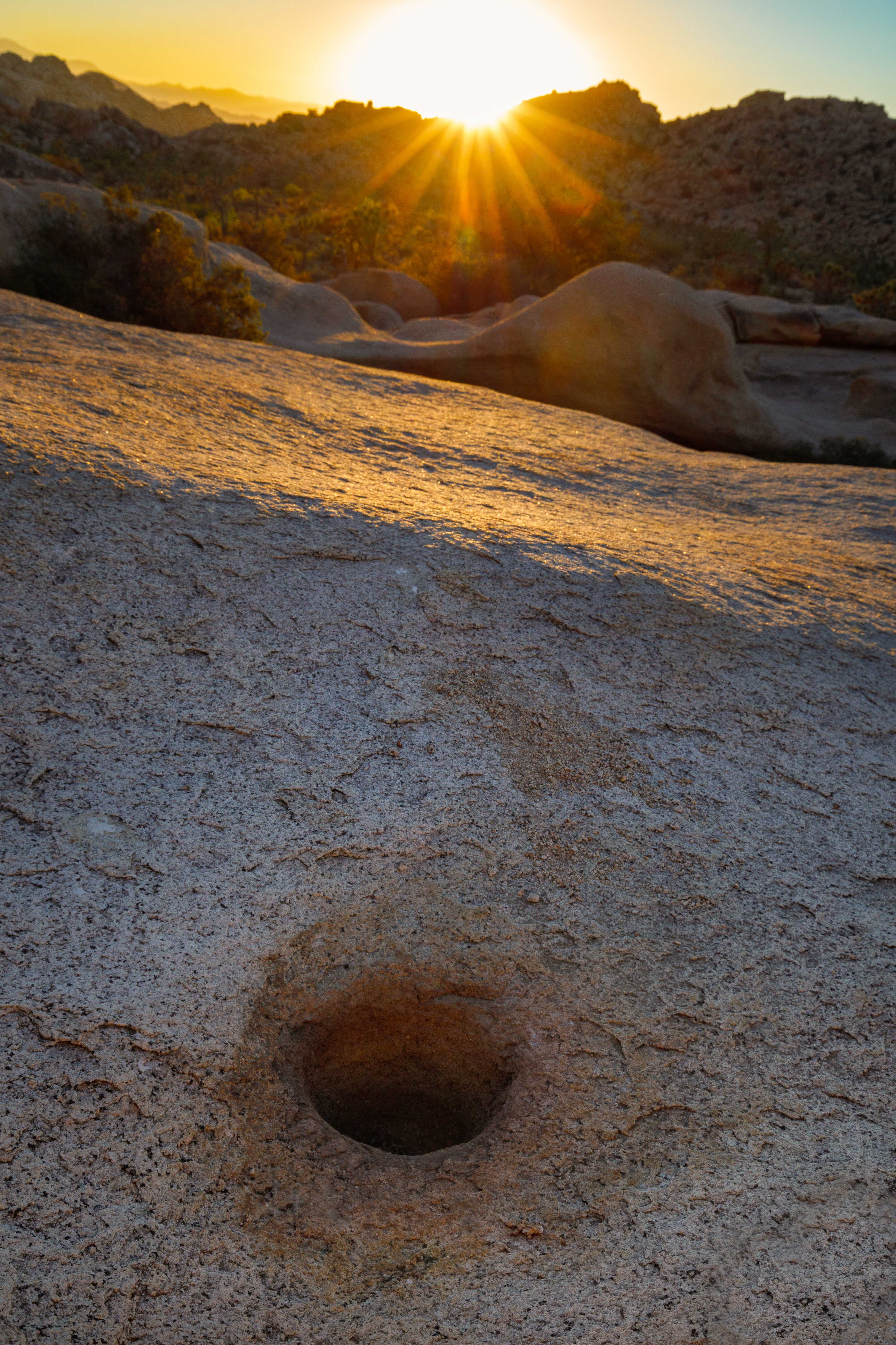
Just as exciting a find as these pictographs is this beautiful bedrock mortar very near the alcove.
So perhaps this was a seasonal stopping point for a family or small group of Native Americans (since there is only one mortar) where nuts or seeds would be ground up as part of the food preparation process. Another guess might be that this site was used to prepare the ochre dye used to make the pictographs. Notice that the area around the mortar has a faint reddish stain.
 
View from inside the alcove, looking out. Whatever this site was used for, it's a delightful spot with a nice "feel" which makes me want to linger. But it's time to move on.
 
I took this photo on the hike back to the car, but as I posted this, I couldn't remember why. Maybe just for the golden light on the rocks? Then I noticed all the little dark specks in the sky. That was it... a large "swarm" (I'm sure that's not the right word) of turkey vultures were riding the thermals on this particular day. It was quite a sight, but I only had my wide angle lens with me, so you will have to use your imagination a little bit!
 
With the sun setting, I can't resist taking one last photo. Click... put the camera away.

Wait... one more. Click, put the camera away.

Wait... one more. Click, put the camera away.

Wait... one more. Click, put the camera away.

Seriously... the last last photo!
 
Thanks for joining me to check out the Slab Rock pictographs!
Linking with Skywatch Friday.